Publicizing geospatial and meta data at the national geoportal by local self-government bodies - recommendations
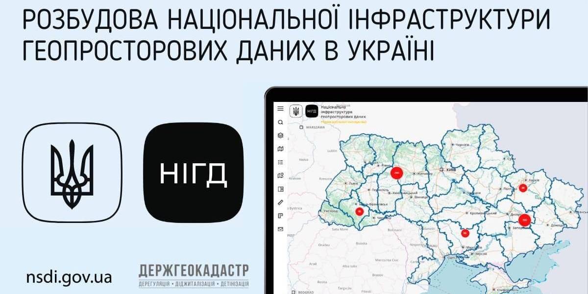
Ukraine is undergoing the process of creating, functioning and developing the national infrastructure of geospatial data. Under the legislation, executive bodies and local self-government are obliged to publicize geospatial and meta data at their official websites and reflect them with the help of the access service at the national geoportal.
The national geoportal prototype is functioning in the experimenting exploitation mode (nsdi.gov.ua), administered by the public enterprise «Scientific and research institute of mapping and geodesy». At the portal, 689 sets of geospatial data from the national, regional and local levels are available for browsing, downloading and processing.

Tags:
amalgamation of hromadas spatial planning
Source:
Державна служба України з питань геодезії, картографії та кадастру
16 February 2026
«Гранти – не манна небесна»: як прикордонна...
Коропська громада, що на Чернігівщині, розташована в зоні підвищеної небезпеки через близькість до кордону з рф. Тут...
16 February 2026
Вебінар «Досвід ЄС у підготовці...
25 лютого 2026 року о 11:00–13:40 шведсько-українська Програма Polaris «Підтримка багаторівневого врядування...
16 February 2026
‘We did not even know we were happy’: Interview...
Life in the border community before the war seemed normal: school, hospital, roads, work, sports, plans for...
13 February 2026
Територіальні громади 2025: ключові зміни та їхні наслідки
Територіальні громади 2025: ключові зміни та...
Пропонуємо увазі читачів «Децентралізації» ґрунтовний аналітичний матеріал, підготовлений експертами KSE Institute —...