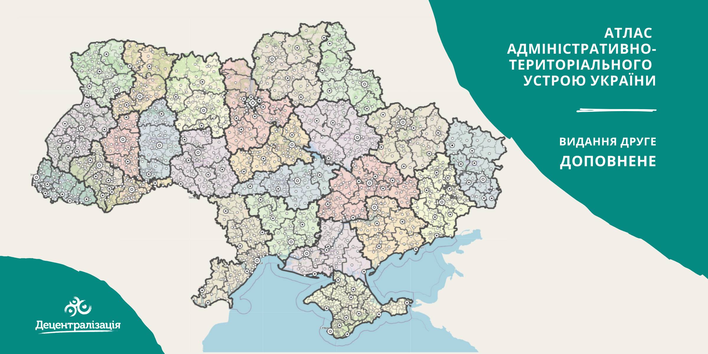
A collection of maps of administrative and territorial arrangement of Ukraine is available at the Decentralisation portal
- The second, updated edition of the collection of maps of administrative and territorial arrangement of Ukraine, including new rayons and territorial hromadas has appeared.
«Hromadas, rayons, population and the area are covered by the collection of maps. We tried our utmost to make it simple and easy to perceive and process the information. I think it will be helpful to high school pupils and students too. With time we are going to improve it», - commented Pavlo Ostapenko, the idea author and editor-in-chief of the collection of maps.

Tags:
administrative and territorial structure rayon Pavlo Ostapenko
Source:
Прес-центр ініціативи «Децентралізація»
22 April 2026
5 порад про політику згуртованості ЄС для громад
5 порад про політику згуртованості ЄС для громад
Після вступу України до ЄС європейська політика згуртованості, на яку Євросоюз витрачає майже третину свого...
21 April 2026
Консультації з органами місцевого...
Комітет Верховної Ради України з питань організації державної влади, місцевого самоврядування, регіонального розвитку...
21 April 2026
Нові знання — нові стандарти: Як навчання фахівців Ізюма змінює якість медпослуг у громаді
Нові знання — нові стандарти: Як навчання...
Начальник відділу охорони здоров’я апарату виконавчого комітету Ізюмської міської ради Тетяна...
20 April 2026
Parliament proposes strengthening the role of community self-organisation bodies
Parliament proposes strengthening the role of...
A Draft Law of Ukraine ‘On Amendments to Certain Laws of Ukraine on Improving Legal Conditions for the Activities of...