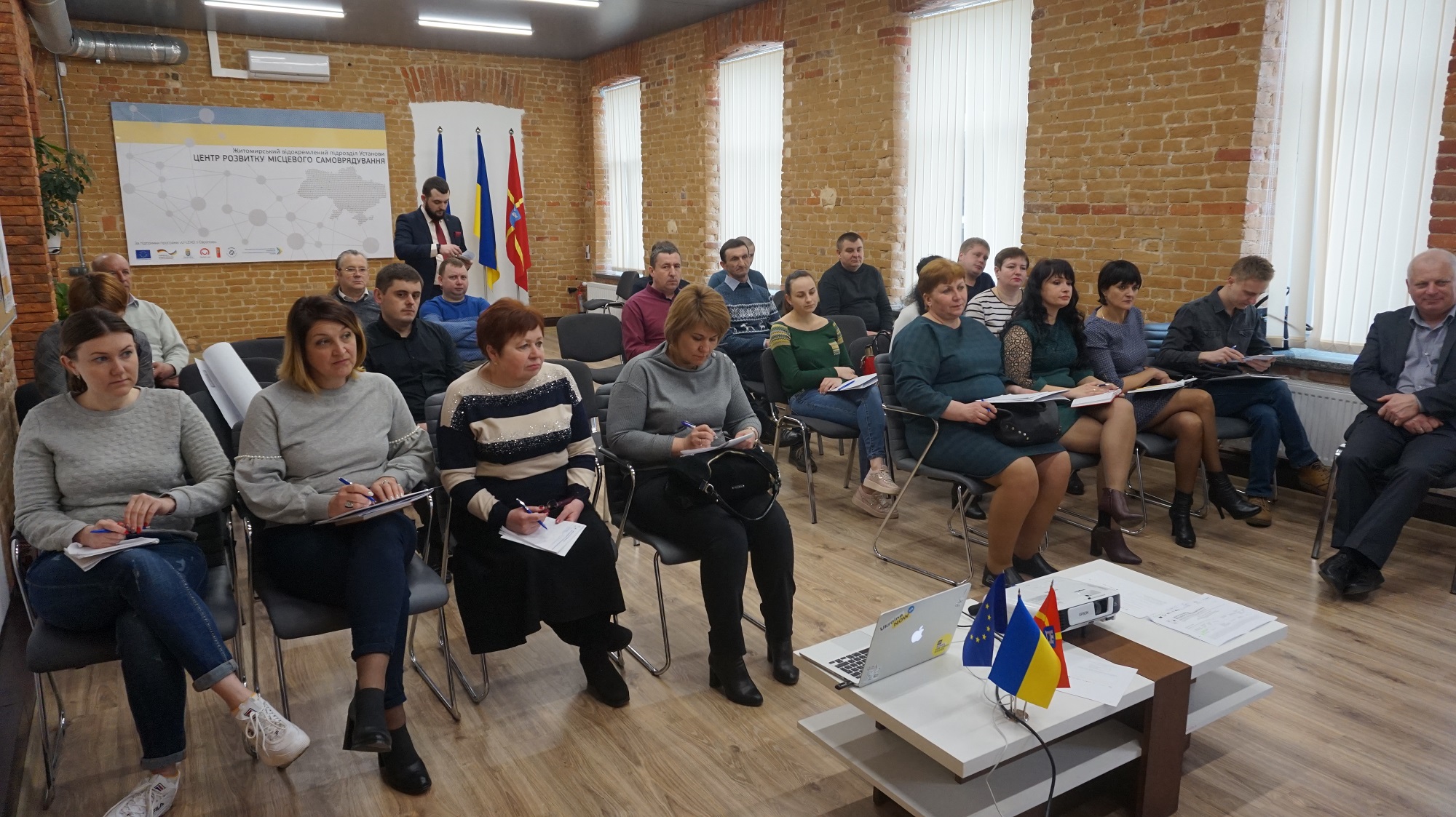
Land planners in Semenivska AH make use of geo-information systems
Having received land from the state, hromadas started the process of stock-check to identify free land plots, to prepare proposals for investors and to ensure additional revenues for their budgets. For instance, land planners in the Semenivska AH of the Berdychiv Rayon have trained to use geo-information systems enabling them to capture land plots with a very high precision.
The full version is available in Ukrainian – please click HERE

Attached images:
Tags:
Область:
Житомирська областьSource:
Житомирський Центр розвитку місцевого самоврядування
17 June 2026
Кадрові наслідки змін у мережі закладів освіти та управління кадровими переміщеннями
Кадрові наслідки змін у мережі закладів освіти...
кадрові ризики при реорганізації та зміні типу закладу освіти; переведення, вивільнення та працевлаштування...
17 June 2026
Практичні рішення для розвитку мережі...
Практичні рішення для формування мережі академічних ліцеїв та впровадження реформи старшої профільної школи...
17 June 2026
У центрі відновлення мають бути люди – їхня...
15 червня 2026 року у Києві відбувся форум «Діалог з питань врядування щодо інклюзивного відновлення та розвитку», що...
17 June 2026
Президент України заснував почесну відзнаку «Громада-рятівник»
Президент України заснував почесну відзнаку...
Президент України Володимир Зеленський підписав Указ №491/2026, яким засновано почесну відзнаку «Громада-рятівник»...