In Zhytomyr land surveyors discussed the use and hromadas’ land accounting
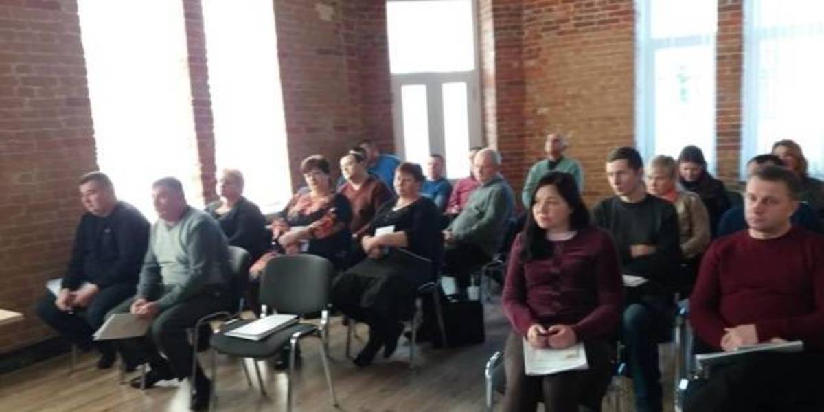
Representatives of amalgamated hromadas of the Zhytomyr Oblast discussed the importance of cartographic modeling for a reasonable management of land resources, territory planning and definition of the boundaries of settlements.
This issues were discussed during the seminar “Mapping of administrative-territorial structure”, which took place at the initiative of the Zhytomyr Local Government Development Centre, established with the support of the U-LEAD with Europe Programme and MinRegion.
The full version is available in Ukrainian – please click HERE

29 October 2026
Відбудова без дорогих помилок: що варто знати...
Для українських громад залучити міжнародне фінансування на відбудову школи, житла, водогону чи іншого...
29 October 2026
Чому європейські села втрачають людей і як...
Чи може громада залишатися успішною, якщо її населення скорочується? Чи завжди закриття школи, лікарні або іншого...
29 October 2026
Етика воєнного часу: як місцевій владі не втратити головний ресурс – довіру
Етика воєнного часу: як місцевій владі не...
Уявімо типовий ранок у громаді, яка разом із цією країною живе в умовах воєнного стану. Перед місцевою владою постає...
29 October 2026
New law on basic social support: Challenges for communities from 2028
New law on basic social support: Challenges for...
Communities will play a defined role in the new system of state social support for families. The executive bodies of...