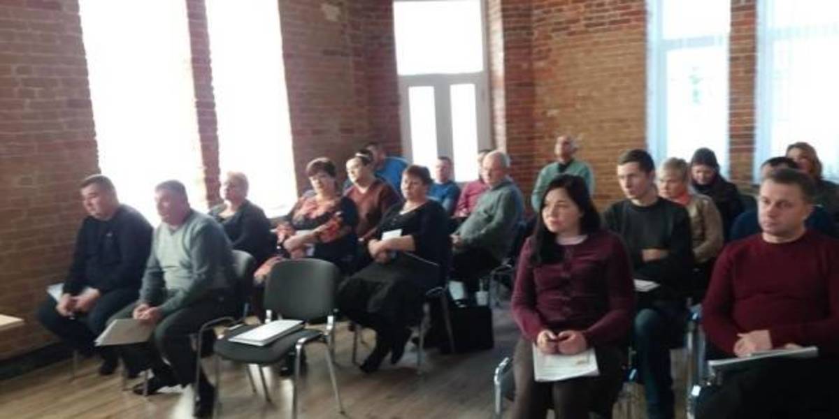
In Zhytomyr land surveyors discussed the use and hromadas’ land accounting
Representatives of amalgamated hromadas of the Zhytomyr Oblast discussed the importance of cartographic modeling for a reasonable management of land resources, territory planning and definition of the boundaries of settlements.
This issues were discussed during the seminar “Mapping of administrative-territorial structure”, which took place at the initiative of the Zhytomyr Local Government Development Centre, established with the support of the U-LEAD with Europe Programme and MinRegion.
The full version is available in Ukrainian – please click HERE

17 June 2026
Кадрові наслідки змін у мережі закладів освіти та управління кадровими переміщеннями
Кадрові наслідки змін у мережі закладів освіти...
кадрові ризики при реорганізації та зміні типу закладу освіти; переведення, вивільнення та працевлаштування...
17 June 2026
Практичні рішення для розвитку мережі...
Практичні рішення для формування мережі академічних ліцеїв та впровадження реформи старшої профільної школи...
17 June 2026
У центрі відновлення мають бути люди – їхня...
15 червня 2026 року у Києві відбувся форум «Діалог з питань врядування щодо інклюзивного відновлення та розвитку», що...
17 June 2026
Президент України заснував почесну відзнаку «Громада-рятівник»
Президент України заснував почесну відзнаку...
Президент України Володимир Зеленський підписав Указ №491/2026, яким засновано почесну відзнаку «Громада-рятівник»...