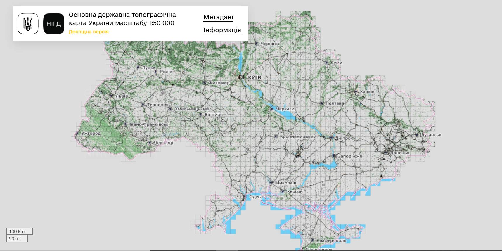
The StateGeoCadastre has publicized the Main State Topographic Map with the scale of 1:50 000
The StateGeoCadastre has created (updated) a digital topographic map with the scale of 1:50 000, as well as the topographic data basis of the territory of Ukraine.
The work was done within a joint project with the Mapping Service of the Kingdom of Norway «Maps to facilitate the proper land management in Ukraine» in 2018–2021.
On January, 27, 2022, the Map was presented during the online-conference.
The Director on International Services of the Mapping Service of the Kingdom of Norway Hans Christian Munthe Kaas emphasized the professional approach of the Ukrainian partners and underlined the significance of digital initiatives development and geospatial data accessibility in Ukraine.
The Map is available at: https://nsdi.gov.ua/map50k.

Tags:
stratehiia rozvytku spatial planning
Source:
Урядовий портал
24 June 2026
Коли доброчесність стає нормою: в Україні стартувала національна ініціатива для громад
Коли доброчесність стає нормою: в Україні...
Понад 250 громад та більше 10 тисяч учасників по всій Україні долучаться до нового проєкту «ВСІМ. Формування культури...
24 June 2026
До 31 серпня триває опитування щодо діяльності добровільних пожежних команд у громадах
До 31 серпня триває опитування щодо діяльності...
Команда Представництва Фонду міжнародної солідарності в Україні запрошує громади-учасниці проєктів у...
24 June 2026
Анонс: круглий стіл «Місцева статистика»
Анонс: круглий стіл «Місцева статистика»
Дата: понеділок, 29 червня 2026 року Час: 14:00 - 16:00 Місце проведення: Українське національне інформаційне...
24 June 2026
«Середа з U-LEAD»: каталог інформаційних заходів для громад на липень 2026 року
«Середа з U-LEAD»: каталог інформаційних...
У липні Програма «U-LEAD з Європою» проведе серію інформаційних заходів для представників органів місцевого...