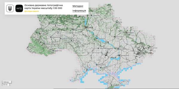
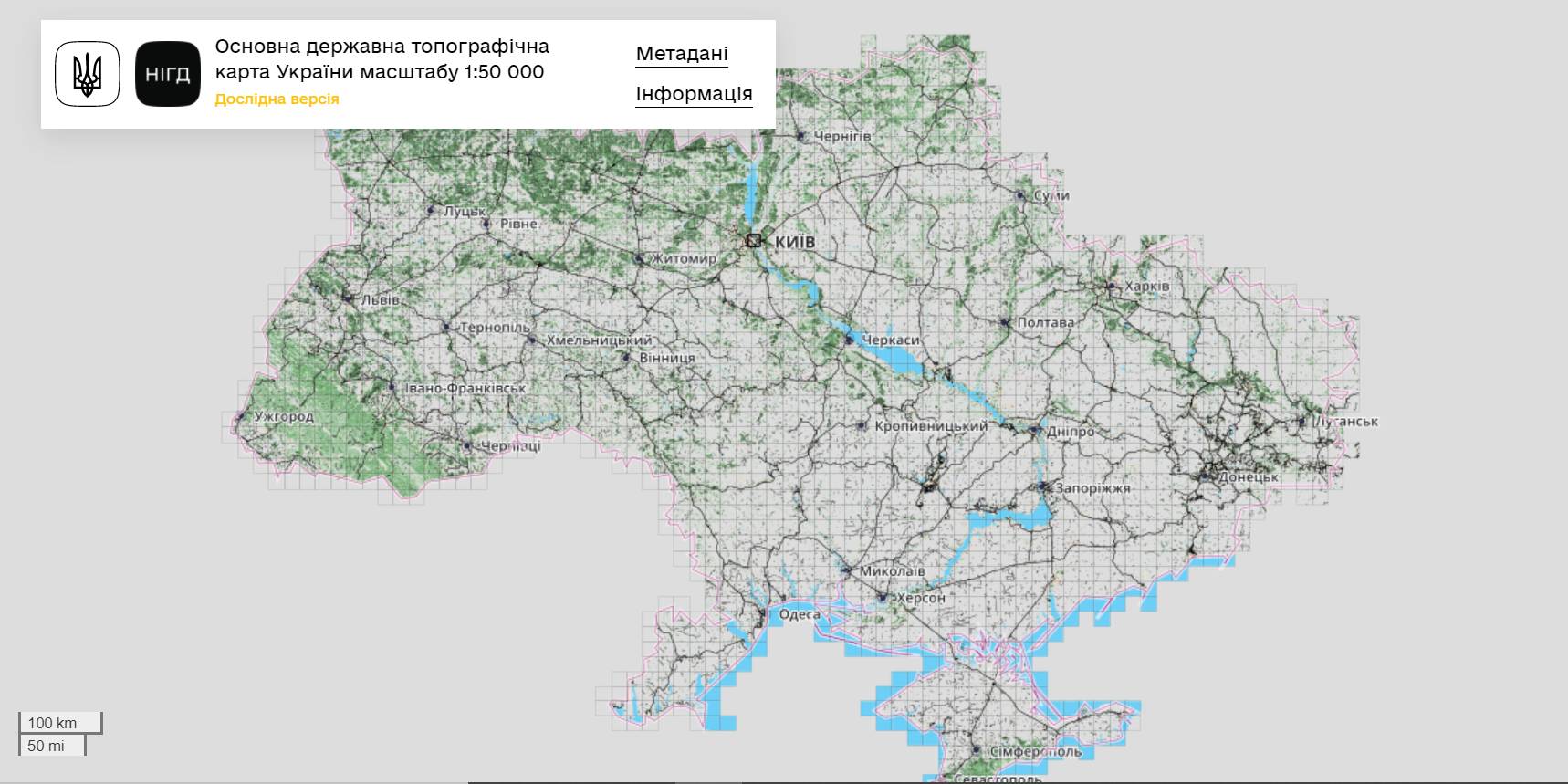
The StateGeoCadastre has publicized the Main State Topographic Map with the scale of 1:50 000
The StateGeoCadastre has created (updated) a digital topographic map with the scale of 1:50 000, as well as the topographic data basis of the territory of Ukraine.
The work was done within a joint project with the Mapping Service of the Kingdom of Norway «Maps to facilitate the proper land management in Ukraine» in 2018–2021.
On January, 27, 2022, the Map was presented during the online-conference.
The Director on International Services of the Mapping Service of the Kingdom of Norway Hans Christian Munthe Kaas emphasized the professional approach of the Ukrainian partners and underlined the significance of digital initiatives development and geospatial data accessibility in Ukraine.
The Map is available at: https://nsdi.gov.ua/map50k.
Tags:
stratehiia rozvytku spatial planning
Source:
Урядовий портал
19 August 2026
Що має змінитися, аби європейські кошти...
Доступ до фондів Європейського Союзу сам по собі не гарантує Україні ані якісного відновлення, ані розвитку регіонів....
19 August 2026
Як впроваджувати інновації у своїй громаді:...
Як використовувати ШІ та цифрові рішення у роботі громади? Де шукати ідеї, які вже працюють в Україні? І головне — як...
19 August 2026
Invitation to Hromadas for Partnership in Fiscal Decentralisation
Invitation to Hromadas for Partnership in...
The Swedish-Ukrainian Polaris Programme ‘Support for Multilevel Governance in Ukraine’ supports the development of...
19 August 2026
16 Ukrainian communities launch cooperation...
Representatives of 16 communities from different regions of Ukraine signed a Memorandum of Cooperation with ALDA –...