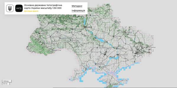
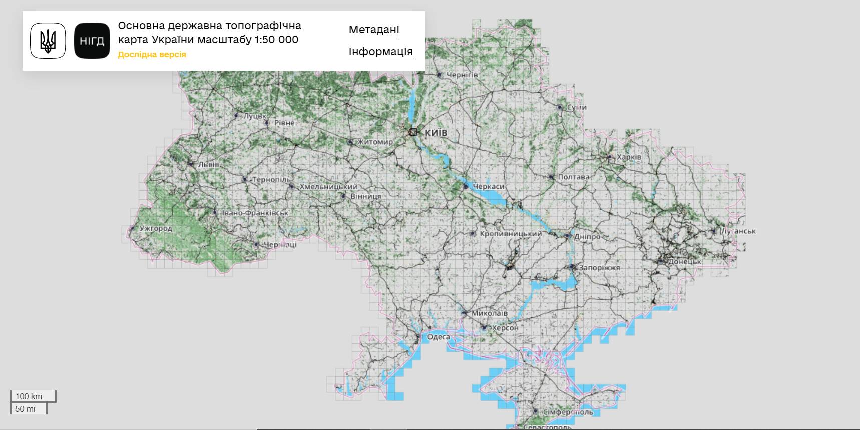
The StateGeoCadastre has publicized the Main State Topographic Map with the scale of 1:50 000
The StateGeoCadastre has created (updated) a digital topographic map with the scale of 1:50 000, as well as the topographic data basis of the territory of Ukraine.
The work was done within a joint project with the Mapping Service of the Kingdom of Norway «Maps to facilitate the proper land management in Ukraine» in 2018–2021.
On January, 27, 2022, the Map was presented during the online-conference.
The Director on International Services of the Mapping Service of the Kingdom of Norway Hans Christian Munthe Kaas emphasized the professional approach of the Ukrainian partners and underlined the significance of digital initiatives development and geospatial data accessibility in Ukraine.
The Map is available at: https://nsdi.gov.ua/map50k.
Tags:
stratehiia rozvytku spatial planning
Source:
Урядовий портал
29 May 2026
Вакансія: Керівник (-ця) команди з питань комунальних підприємств
Вакансія: Керівник (-ця) команди з питань...
Опис контексту Щоб задовольнити мінливі потреби українських муніципалітетів і зацікавлених сторін на національному...
29 May 2026
Synchronise to Rebuild: Polaris Conference — from Resilience Plans to Investment Planning
Synchronise to Rebuild: Polaris Conference —...
On 28 May, in Kyiv, the Polaris Programme "Supporting Multilevel Governance in Ukraine", together with the State...
28 May 2026
President signs Law No. 9559-d: Communities...
The President of Ukraine signed Law No. 9559-d “On Amendments to Certain Laws of Ukraine on Expanding the Powers of...
28 May 2026
Відбір експерта зі взаємодії громад із бізнесом та профорієнтації
Відбір експерта зі взаємодії громад із бізнесом...
Всеукраїнська асоціація органів місцевого самоврядування “Всеукраїнська асоціація громад” (ВАГ) проводить запит...