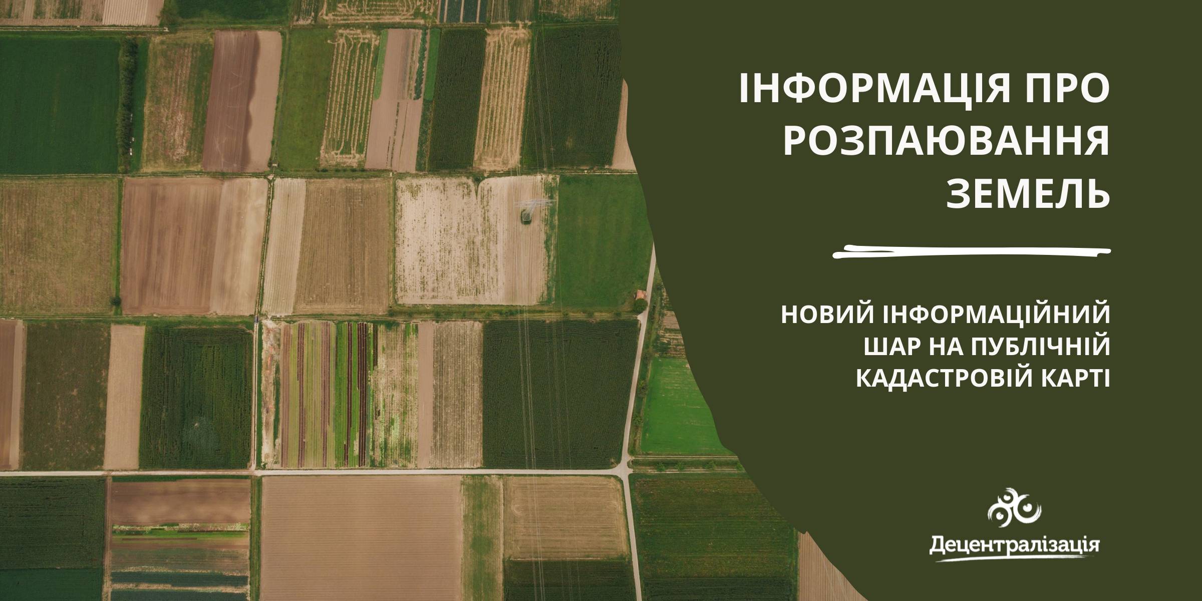
«Data on land shares» - a new information layer on the Public Cadastre Map
According to the State Service of geodesy, mapping and cadastre of Ukraine, a new information layer has appeared on the Public Cadastre Map.
Access to such data is vital for local self-government bodies as they have just become entitled to handle lands outside the settlement boundaries. Municipalities will be able to use the data to make an inventory and auditing of their land resources, identify free or occupied lands while approving decisions about giving permits for free privatization.
The data will be useful while developing complex plans of municipality territory special development, taking into account the fact that, under the legislation, all land shares, not having been demanded by 2025, have to be transferred to the communal property.

16 February 2026
«Гранти – не манна небесна»: як прикордонна...
Коропська громада, що на Чернігівщині, розташована в зоні підвищеної небезпеки через близькість до кордону з рф. Тут...
16 February 2026
Вебінар «Досвід ЄС у підготовці...
25 лютого 2026 року о 11:00–13:40 шведсько-українська Програма Polaris «Підтримка багаторівневого врядування...
16 February 2026
‘We did not even know we were happy’: Interview...
Life in the border community before the war seemed normal: school, hospital, roads, work, sports, plans for...
13 February 2026
Територіальні громади 2025: ключові зміни та їхні наслідки
Територіальні громади 2025: ключові зміни та...
Пропонуємо увазі читачів «Децентралізації» ґрунтовний аналітичний матеріал, підготовлений експертами KSE Institute —...