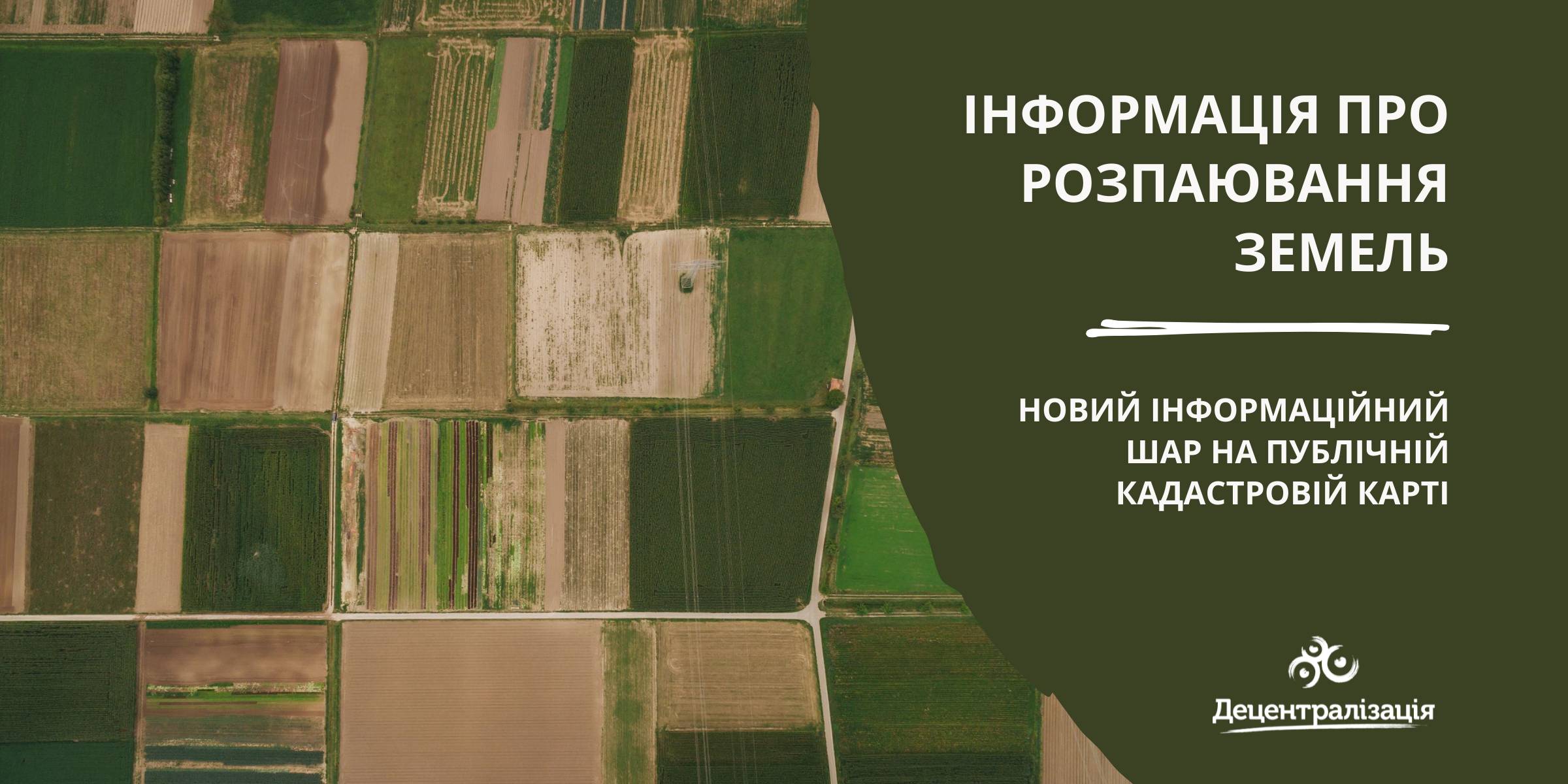
«Data on land shares» - a new information layer on the Public Cadastre Map
According to the State Service of geodesy, mapping and cadastre of Ukraine, a new information layer has appeared on the Public Cadastre Map.
Access to such data is vital for local self-government bodies as they have just become entitled to handle lands outside the settlement boundaries. Municipalities will be able to use the data to make an inventory and auditing of their land resources, identify free or occupied lands while approving decisions about giving permits for free privatization.
The data will be useful while developing complex plans of municipality territory special development, taking into account the fact that, under the legislation, all land shares, not having been demanded by 2025, have to be transferred to the communal property.

23 December 2025
Швейцарська підтримка сприятиме реалізації...
5 агенцій регіонального розвитку отримають гранти на реалізацію стратегічних пріоритетів у рамках програми...
23 December 2025
Open Call: Partnership in Preserving and Improving Access to Public Services
Open Call: Partnership in Preserving and...
The Swedish–Ukrainian Polaris Programme: Supporting Multilevel Governance in Ukraine announces a call to support...
22 December 2025
Статут демократії: Криничанська громада серед перших в Україні прийняла новий ключовий документ
Статут демократії: Криничанська громада серед...
Незважаючи на складну безпекову ситуацію, громади Дніпропетровської області не припиняють роботу над побудовою...
22 December 2025
В Броварах відкрився сучасний профорієнтаційний хаб DECIDE для учнів 7–9 класів
В Броварах відкрився сучасний профорієнтаційний...
У Броварському професійному коледжі запрацював новий, вже дев’ятий за рахунком, профорієнтаційний хаб, створений в...