Publicizing geospatial and meta data at the national geoportal by local self-government bodies - recommendations
Ukraine is undergoing the process of creating, functioning and developing the national infrastructure of geospatial data. Under the legislation, executive bodies and local self-government are obliged to publicize geospatial and meta data at their official websites and reflect them with the help of the access service at the national geoportal.
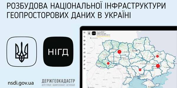
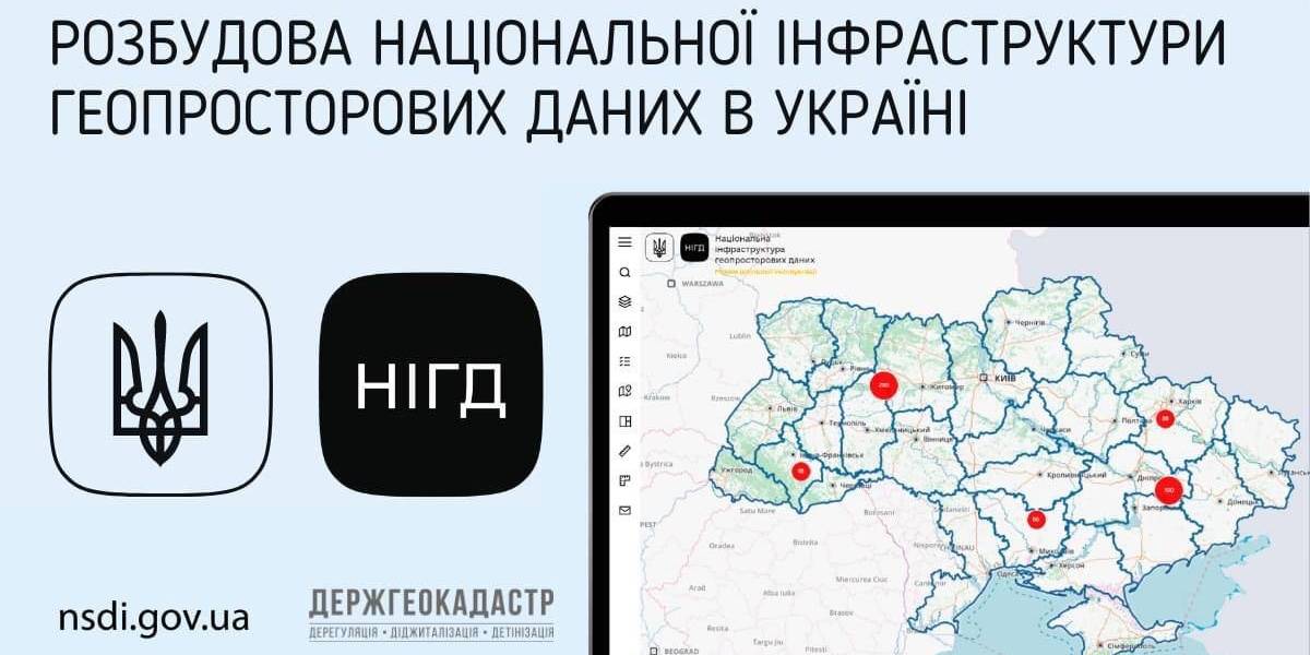
The national geoportal prototype is functioning in the experimenting exploitation mode (nsdi.gov.ua), administered by the public enterprise «Scientific and research institute of mapping and geodesy». At the portal, 689 sets of geospatial data from the national, regional and local levels are available for browsing, downloading and processing.
Tags:
amalgamation of hromadas spatial planning
Source:
Державна служба України з питань геодезії, картографії та кадастру
19 August 2026
16 громад розпочали співпрацю з ALDA для розвитку місцевої демократії та жіночого лідерства
16 громад розпочали співпрацю з ALDA для...
Представники 16 територіальних громад із різних регіонів України підписали Меморандум про співпрацю з Європейською...
19 August 2026
Європейська інтеграція регіонів України: Чому...
Україна впевнено рухається шляхом європейської інтеграції. Процес скринінгу українського законодавства...
19 August 2026
Вебінар «Які документи та накази мають бути під час організації інклюзивного навчання»
Вебінар «Які документи та накази мають бути під...
До участі запрошуємо представників органів управління освітою долучитися до вебінару, організованого...
19 August 2026
Vacancy: Expert in Development and Spatial Planning on Local Level
Vacancy: Expert in Development and Spatial...
Description of the context To address the changing needs of Ukrainian municipalities and national level...