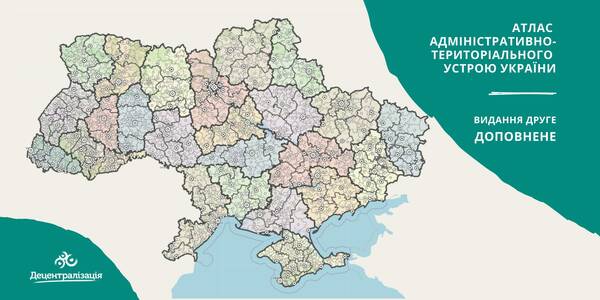
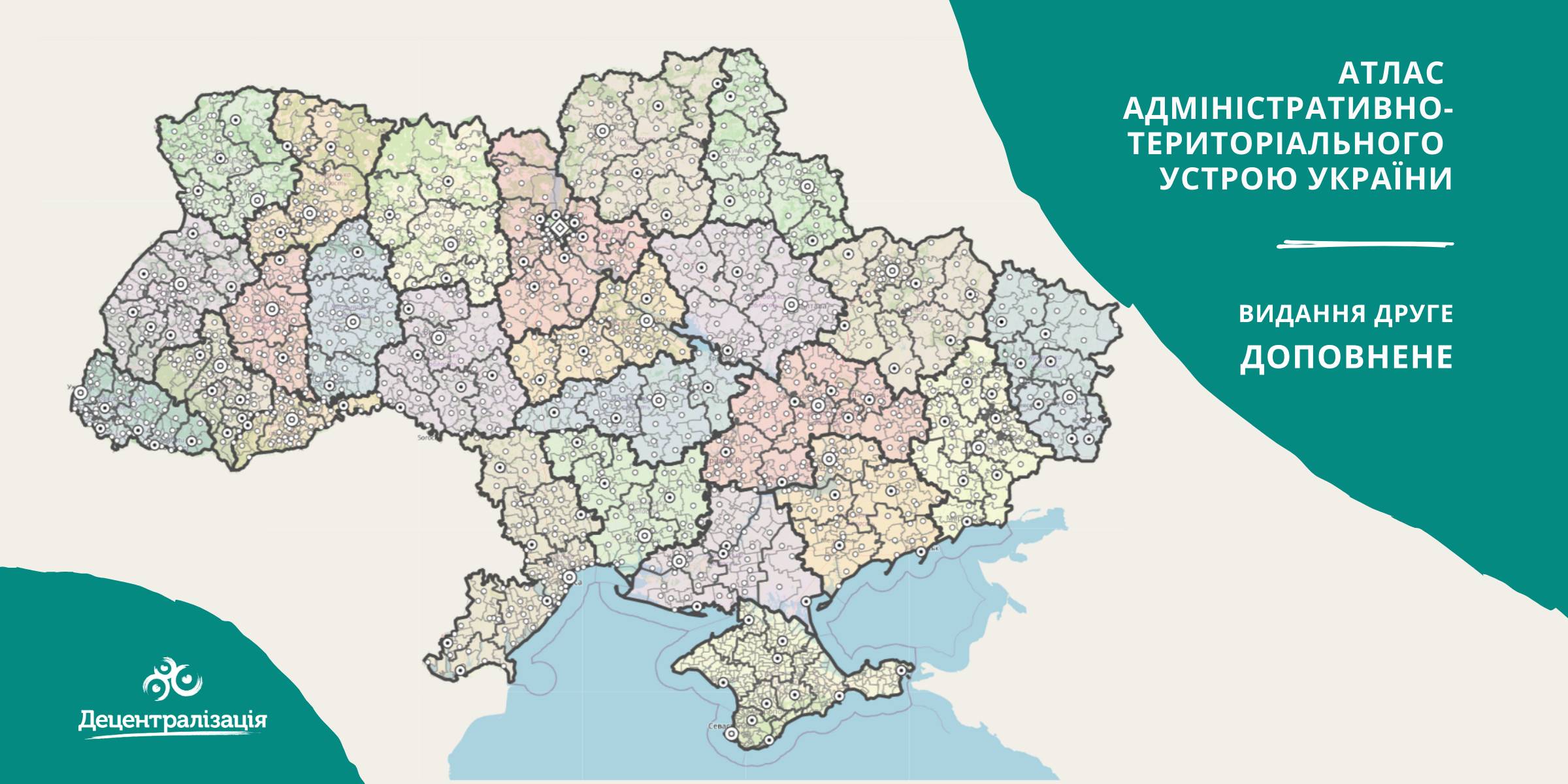
A collection of maps of administrative and territorial arrangement of Ukraine is available at the Decentralisation portal
- The second, updated edition of the collection of maps of administrative and territorial arrangement of Ukraine, including new rayons and territorial hromadas has appeared.
«Hromadas, rayons, population and the area are covered by the collection of maps. We tried our utmost to make it simple and easy to perceive and process the information. I think it will be helpful to high school pupils and students too. With time we are going to improve it», - commented Pavlo Ostapenko, the idea author and editor-in-chief of the collection of maps.
Tags:
administrative and territorial structure rayon Pavlo Ostapenko
Source:
Прес-центр ініціативи «Децентралізація»
19 August 2026
Що має змінитися, аби європейські кошти...
Доступ до фондів Європейського Союзу сам по собі не гарантує Україні ані якісного відновлення, ані розвитку регіонів....
19 August 2026
Як впроваджувати інновації у своїй громаді:...
Як використовувати ШІ та цифрові рішення у роботі громади? Де шукати ідеї, які вже працюють в Україні? І головне — як...
19 August 2026
Invitation to Hromadas for Partnership in Fiscal Decentralisation
Invitation to Hromadas for Partnership in...
The Swedish-Ukrainian Polaris Programme ‘Support for Multilevel Governance in Ukraine’ supports the development of...
19 August 2026
16 Ukrainian communities launch cooperation...
Representatives of 16 communities from different regions of Ukraine signed a Memorandum of Cooperation with ALDA –...