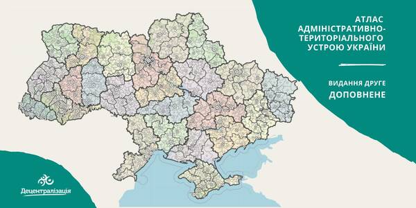
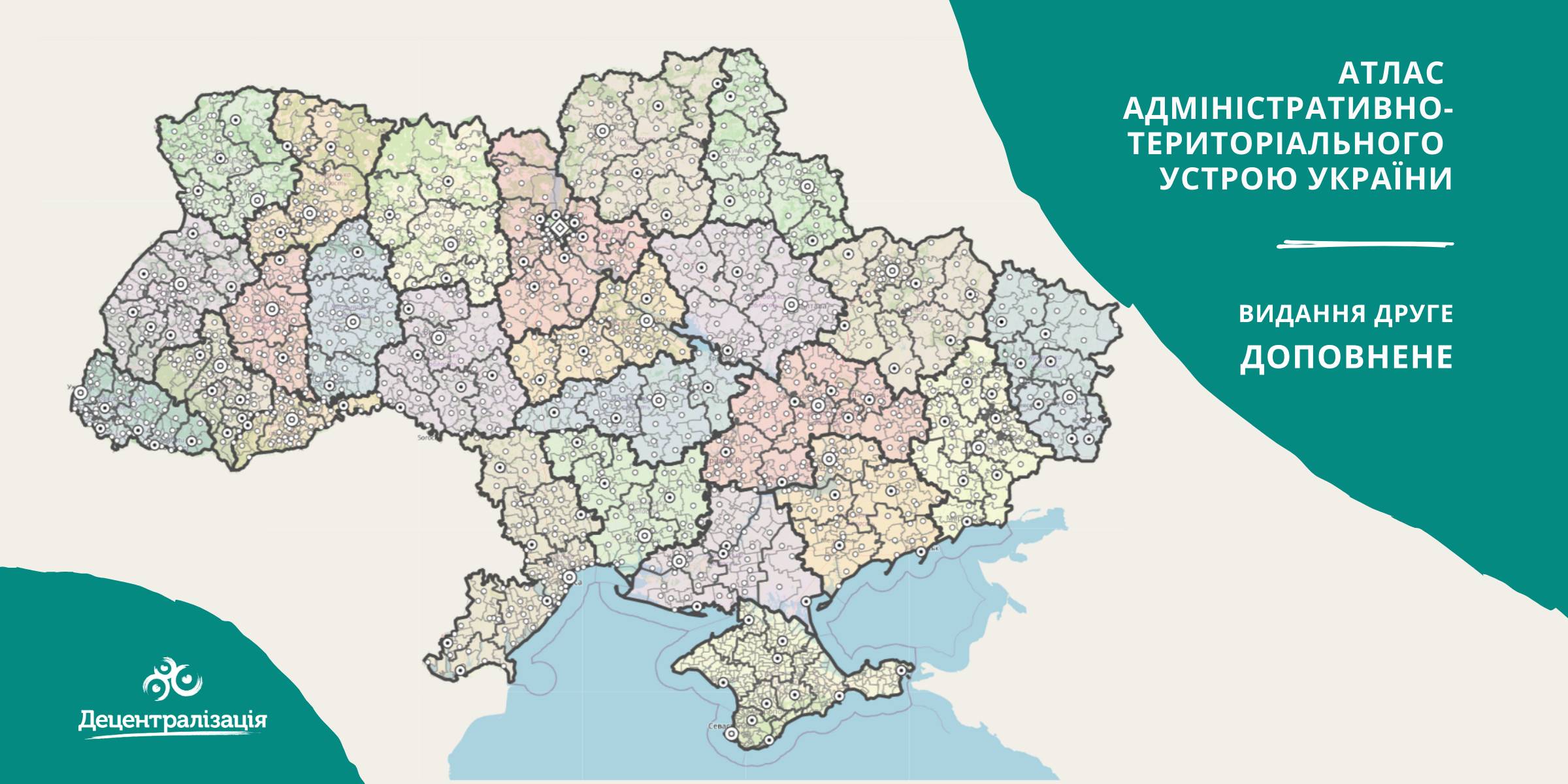
A collection of maps of administrative and territorial arrangement of Ukraine is available at the Decentralisation portal
- The second, updated edition of the collection of maps of administrative and territorial arrangement of Ukraine, including new rayons and territorial hromadas has appeared.
«Hromadas, rayons, population and the area are covered by the collection of maps. We tried our utmost to make it simple and easy to perceive and process the information. I think it will be helpful to high school pupils and students too. With time we are going to improve it», - commented Pavlo Ostapenko, the idea author and editor-in-chief of the collection of maps.
Tags:
administrative and territorial structure rayon Pavlo Ostapenko
Source:
Прес-центр ініціативи «Децентралізація»
28 September 2026
Poltava Oblast: Strategic Development, Recovery and Cooperation with Sweden
Poltava Oblast: Strategic Development, Recovery...
During the visit to Poltava, the Polaris Programme management and experts discussed strategic development and support...
28 September 2026
Від аудиту до бюджету: громади обговорили, як зробити безбар’єрність частиною управлінських рішень
Від аудиту до бюджету: громади обговорили, як...
Безбар’єрність у громаді починається з розуміння потреб людей, визначення пріоритетів, планування коштів і перевірки...
28 September 2026
Vacancy: Team Lead for Municipal Enterprises
Vacancy: Team Lead for Municipal Enterprises
Description of the context To address the changing needs of Ukrainian municipalities and national-level...
28 September 2026
В Україні вперше відзначили громади за практики рівних можливостей
В Україні вперше відзначили громади за практики...
22 вересня у Національній філармонії України в Києві відбулася церемонія нагородження Національної відзнаки...