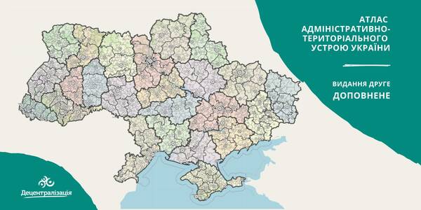
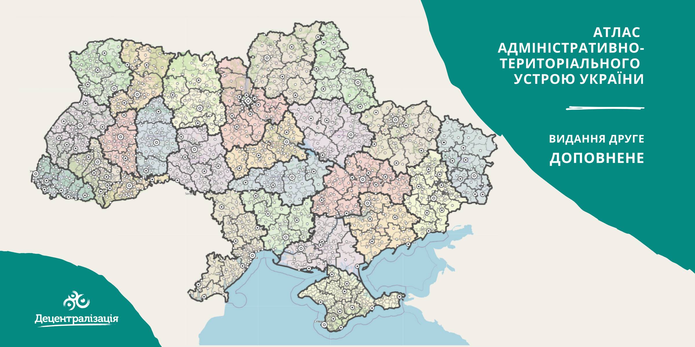
A collection of maps of administrative and territorial arrangement of Ukraine is available at the Decentralisation portal
- The second, updated edition of the collection of maps of administrative and territorial arrangement of Ukraine, including new rayons and territorial hromadas has appeared.
«Hromadas, rayons, population and the area are covered by the collection of maps. We tried our utmost to make it simple and easy to perceive and process the information. I think it will be helpful to high school pupils and students too. With time we are going to improve it», - commented Pavlo Ostapenko, the idea author and editor-in-chief of the collection of maps.
Tags:
administrative and territorial structure rayon Pavlo Ostapenko
Source:
Прес-центр ініціативи «Децентралізація»
15 September 2026
Профорієнтація обʼєднує. Як евакуйована...
Громада перебуває в зоні активних бойових дій, її жителі повність евакуйовані та розпорошені Україною та світом, а...
15 September 2026
Комітет створив Робочу групу для підготовки до...
Комітет Верховної Ради України з питань організації державної влади, місцевого самоврядування, регіонального розвитку...
15 September 2026
Відкликання депутатів місцевих рад: Комітет підтримав зміни до Виборчого кодексу
Відкликання депутатів місцевих рад: Комітет...
Комітет Верховної Ради з питань організації державної влади, місцевого самоврядування, регіонального розвитку та...
15 September 2026
До 20 вересня молодь з України та Румунії може подати твори для створення муралу
До 20 вересня молодь з України та Румунії може...
Спільний секретаріат Програми Interreg NEXT VI-A Румунія-Україна запрошує молодь віком від 13 до 30 років з...