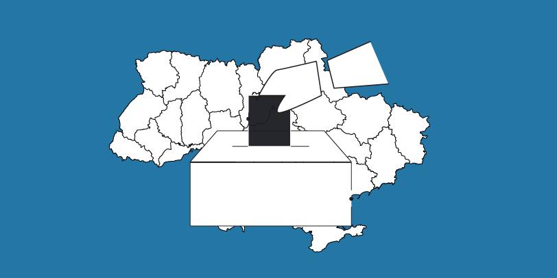
The OPORA network has created a map of the new rayons and hromadas of Ukraine
OPORA has created an interactive map of Ukraine, featuring the borders of the new rayons and hromadas, as well as information on the number of voters and types of election systems, functioning during 2020 local elections in autumn.
The map is available at: https://www.oporaua.org/longrid/map_2020.html

Tags:
rayon administrative and territorial structure
Source:
ОПОРА
30 July 2026
Про профорієнтацію, до якої залучені всі. Як Васильківська громада будує екосистему свідомого вибору
Про профорієнтацію, до якої залучені всі. Як...
У Василькові система профорієнтації працює у звʼязці з усіма ланками, які дотичні до того, щоби карʼєрний шлях учня...
30 July 2026
Invitation to Regional and Local Associations...
The Swedish-Ukrainian Polaris Programme ‘Support for Multilevel Governance in Ukraine’ (2024–2028) invites regional...
30 July 2026
Від культурних обмінів до енергетичної...
Нововолинська міська територіальна громада офіційно започаткувала партнерські відносини з італійським містом Паліано....
29 July 2026
Ефективне та прозоре управління публічними ресурсами на рівні громад
Ефективне та прозоре управління публічними...
В умовах воєнного стану, постійного дефіциту ресурсів і високого навантаження на місцеве самоврядування українські...