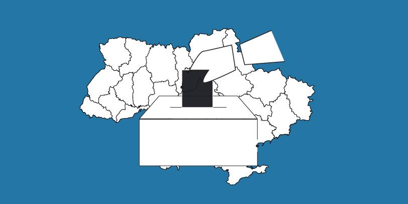
The OPORA network has created a map of the new rayons and hromadas of Ukraine
OPORA has created an interactive map of Ukraine, featuring the borders of the new rayons and hromadas, as well as information on the number of voters and types of election systems, functioning during 2020 local elections in autumn.
The map is available at: https://www.oporaua.org/longrid/map_2020.html

Tags:
rayon administrative and territorial structure
Source:
ОПОРА
10 July 2026
Safe water during wartime: Research results...
Damage to water supply systems, prolonged disruptions to the water supply, and the use of wells and alternative water...
10 July 2026
Українська урбаністична платформа розпочала всеукраїнське дослідження урбаністичного сектору
Українська урбаністична платформа розпочала...
Громадська організація «Українська урбаністична платформа» розпочинає всеукраїнське опитування професійної спільноти:...
09 July 2026
Кафедра регіональної політики КНУ імені Тараса...
Кафедра регіональної політики КНУ імені Тараса Шевченка запрошує на магістерські програми для фахівців, які працюють...
09 July 2026
Not a universal model: How Ukrainian communities reconsider civic engagement amidst war
Not a universal model: How Ukrainian...
The full-scale war has not only changed the forms of civic engagement, but has also demonstrated that different...