Land planners in Semenivska AH make use of geo-information systems
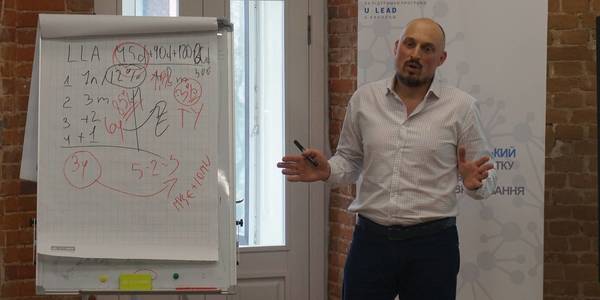
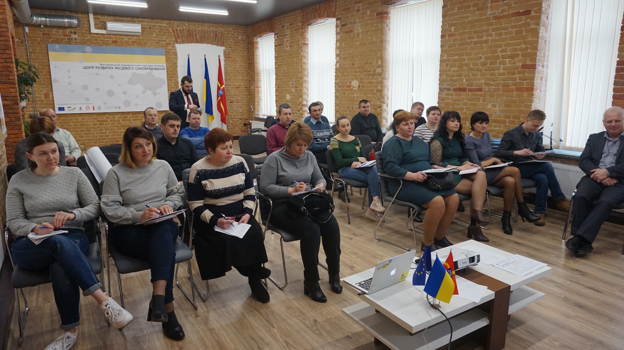
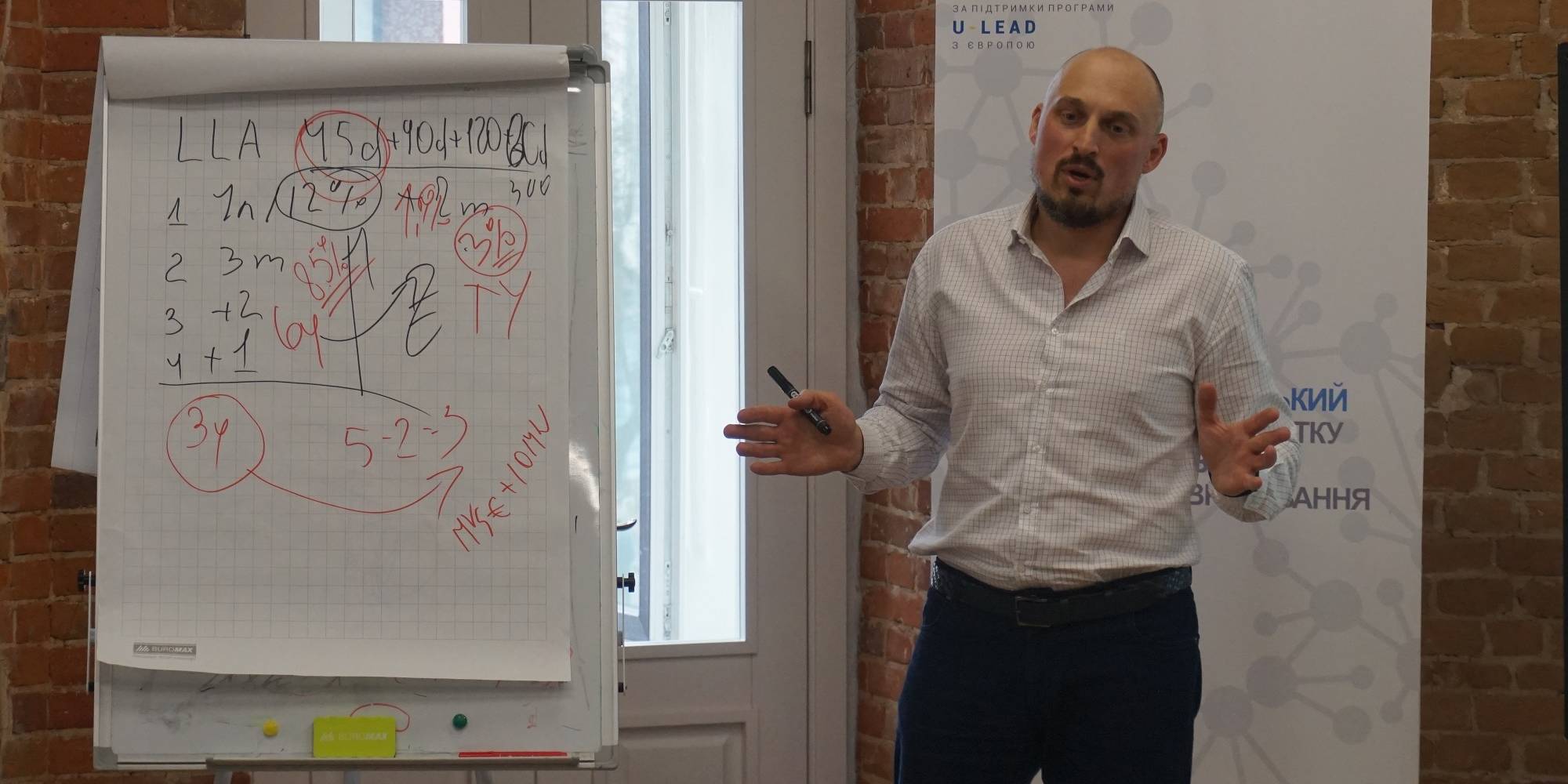
Having received land from the state, hromadas started the process of stock-check to identify free land plots, to prepare proposals for investors and to ensure additional revenues for their budgets. For instance, land planners in the Semenivska AH of the Berdychiv Rayon have trained to use geo-information systems enabling them to capture land plots with a very high precision.
The full version is available in Ukrainian – please click HERE
Attached images:
Tags:
Область:
Житомирська областьSource:
Житомирський Центр розвитку місцевого самоврядування
28 October 2026
Congress of the Council of Europe condemns...
The Congress of Local and Regional Authorities of the Council of Europe has adopted the Declaration condemning...
28 October 2026
Congress of the Council of Europe supports Carpathian Integration Initiative
Congress of the Council of Europe supports...
The Congress of Local and Regional Authorities of the Council of Europe has supported the Carpathian Integration...
28 October 2026
Vitalii Bezgin discussed support for...
Vitalii Bezgin, Minister for Communities, Territories and Internally Displaced Persons of Ukraine, met with Gunn...
28 October 2026
Програми є, а чи є результат? Що показав аналіз 240 місцевих програм підтримки ВПО
Програми є, а чи є результат? Що показав аналіз...
В Україні діє 1350 місцевих цільових програм, які передбачають підтримку внутрішньо переміщених осіб на рівні громад...