Land planners in Semenivska AH make use of geo-information systems
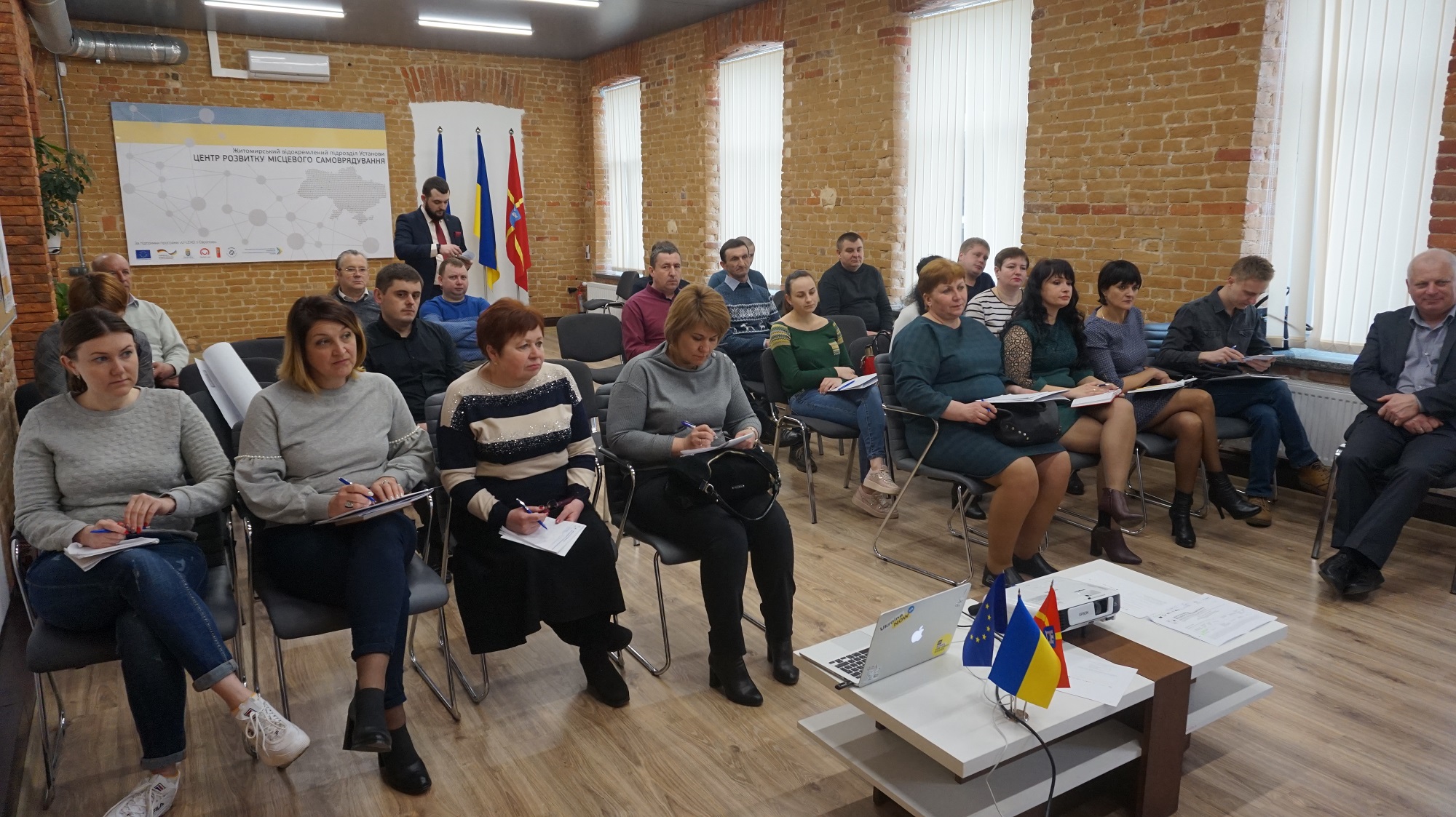
Having received land from the state, hromadas started the process of stock-check to identify free land plots, to prepare proposals for investors and to ensure additional revenues for their budgets. For instance, land planners in the Semenivska AH of the Berdychiv Rayon have trained to use geo-information systems enabling them to capture land plots with a very high precision.
The full version is available in Ukrainian – please click HERE

Attached images:
Tags:
Область:
Житомирська областьSource:
Житомирський Центр розвитку місцевого самоврядування
23 December 2025
Швейцарська підтримка сприятиме реалізації...
5 агенцій регіонального розвитку отримають гранти на реалізацію стратегічних пріоритетів у рамках програми...
23 December 2025
Open Call: Partnership in Preserving and Improving Access to Public Services
Open Call: Partnership in Preserving and...
The Swedish–Ukrainian Polaris Programme: Supporting Multilevel Governance in Ukraine announces a call to support...
22 December 2025
Статут демократії: Криничанська громада серед перших в Україні прийняла новий ключовий документ
Статут демократії: Криничанська громада серед...
Незважаючи на складну безпекову ситуацію, громади Дніпропетровської області не припиняють роботу над побудовою...
22 December 2025
В Броварах відкрився сучасний профорієнтаційний хаб DECIDE для учнів 7–9 класів
В Броварах відкрився сучасний профорієнтаційний...
У Броварському професійному коледжі запрацював новий, вже дев’ятий за рахунком, профорієнтаційний хаб, створений в...