Land planners in Semenivska AH make use of geo-information systems
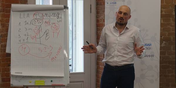
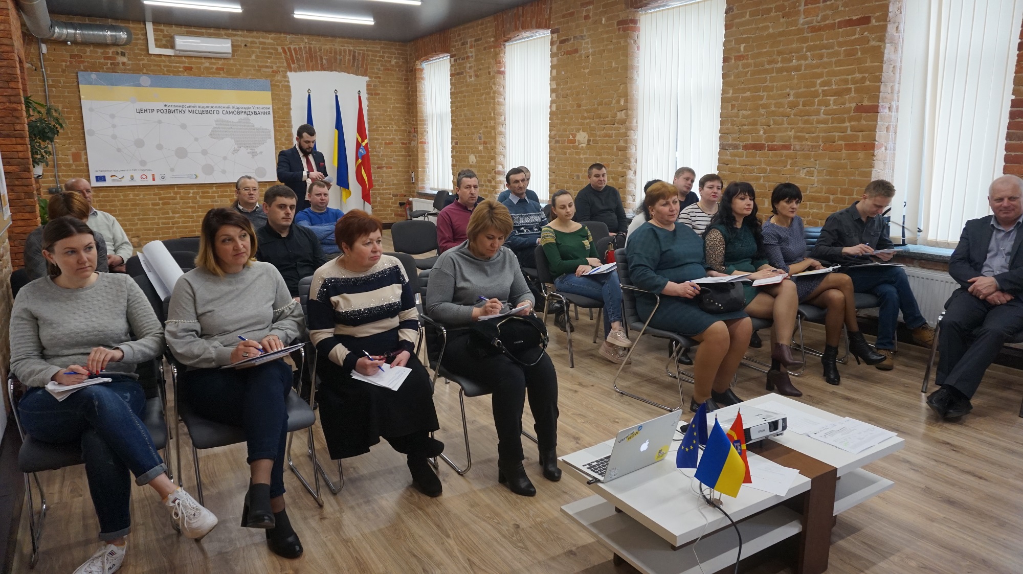
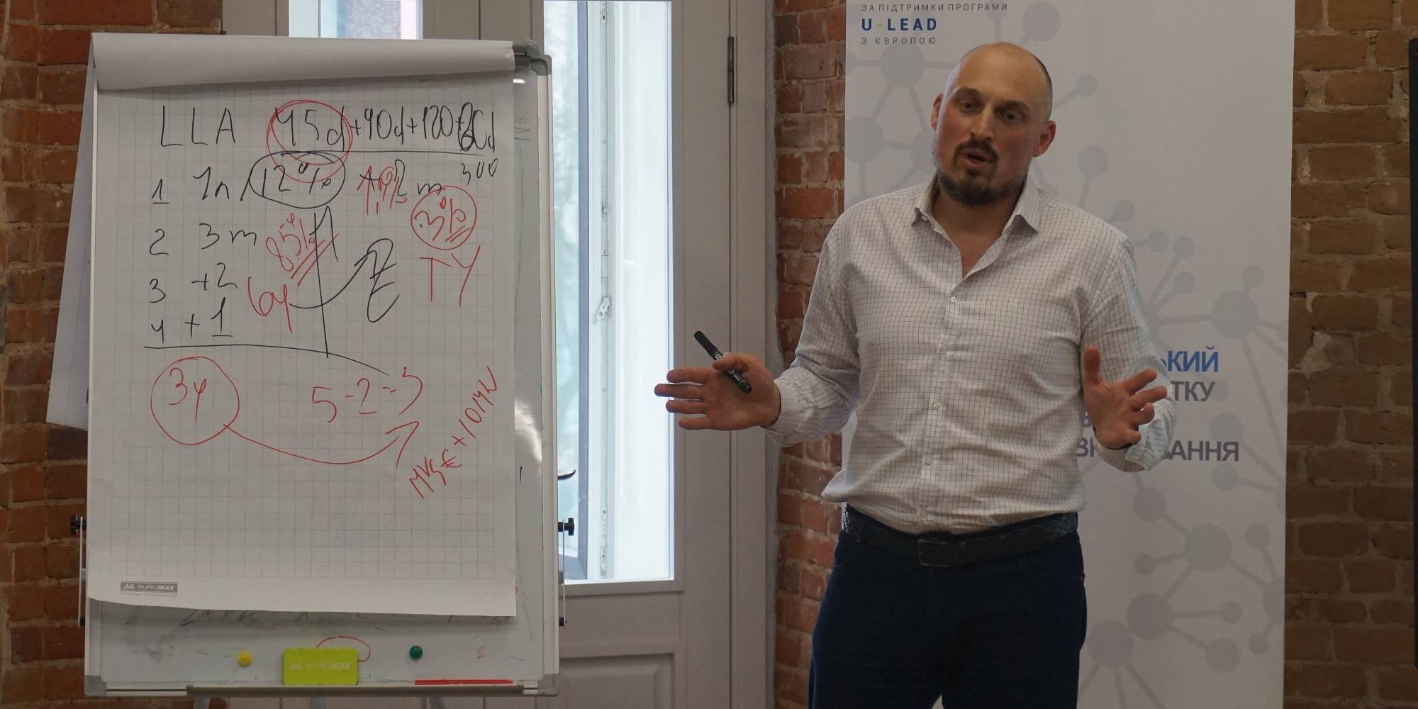
Having received land from the state, hromadas started the process of stock-check to identify free land plots, to prepare proposals for investors and to ensure additional revenues for their budgets. For instance, land planners in the Semenivska AH of the Berdychiv Rayon have trained to use geo-information systems enabling them to capture land plots with a very high precision.
The full version is available in Ukrainian – please click HERE
Attached images:
Tags:
Область:
Житомирська областьSource:
Житомирський Центр розвитку місцевого самоврядування
06 October 2026
Агенції регіонального розвитку навчатимуться готувати якісні проєктні концепції на платформі КРОКУС
Агенції регіонального розвитку навчатимуться...
7-8 жовтня у Львові відбудеться дводенний тренінг «Від проєктної ідеї до концепції: робота на платформі КРОКУС» для...
06 October 2026
Мінфін у вересні забезпечив перерахування з...
У вересні 2026 року Мінфін згідно з бюджетним законодавством забезпечив перерахування міжбюджетних трансфертів до...
06 October 2026
The Polaris Programme invites communications...
The Swedish-Ukrainian Polaris Programme ‘Support for Multi-level Governance in Ukraine’ is announcing a call...
06 October 2026
Fiscal Decentralisation: 7 Hromadas selected for Partnership with the Polaris Programme
Fiscal Decentralisation: 7 Hromadas selected...
The Polaris Programme “Supporting Multilevel Governance in Ukraine” selected seven partner hromadas for...