Land planners in Semenivska AH make use of geo-information systems
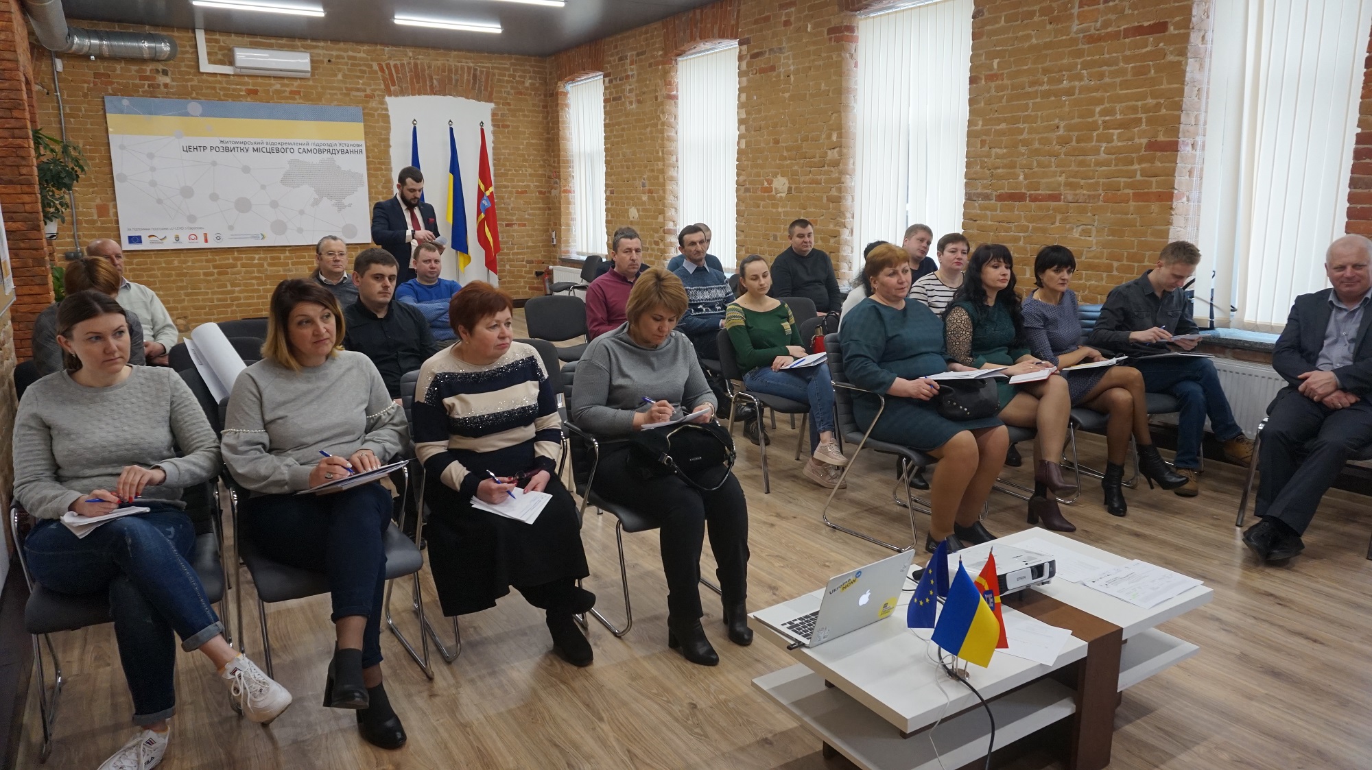
Having received land from the state, hromadas started the process of stock-check to identify free land plots, to prepare proposals for investors and to ensure additional revenues for their budgets. For instance, land planners in the Semenivska AH of the Berdychiv Rayon have trained to use geo-information systems enabling them to capture land plots with a very high precision.
The full version is available in Ukrainian – please click HERE

Attached images:
Tags:
Область:
Житомирська областьSource:
Житомирський Центр розвитку місцевого самоврядування
03 June 2026
Посилення прозорості місцевого самоврядування...
3 червня Комітет Верховної Ради України з питань організації державної влади, місцевого самоврядування,...
03 June 2026
Пресанонс щодо старту відбору громад для участі...
Відкритість, довіра та доброчесність не з'являються самі собою. Їх будують люди та громади, які готові змінювати...
03 June 2026
Вакансія: Старший(-а) експерт(-ка) з питань комунальних підприємств
Вакансія: Старший(-а) експерт(-ка) з питань...
Опис контексту Для реагування на мінливі потреби українських муніципалітетів і національних суб'єктів у воєнний...
03 June 2026
Каталоги можливостей червня: нова підбірка грантів для розвитку громад
Каталоги можливостей червня: нова підбірка...
Червень відкриває нові можливості для громад, які готові втілювати важливі проєкти для своїх жителів. Аби...