Experts propose to form four capable rayons in Ternopil Oblast
Experts of the Ukrainian Association of Rayon and Oblast Councils prepared a new map of the administrative-territorial structure at the subregional level of the Ternopil Oblast, consisting of 4 capable rayons.
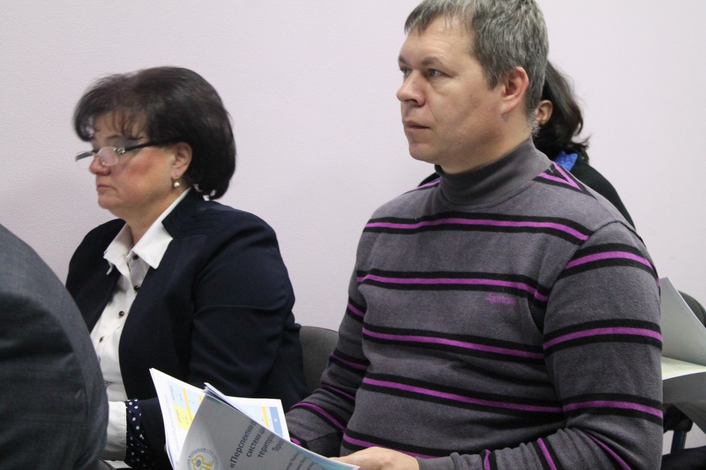
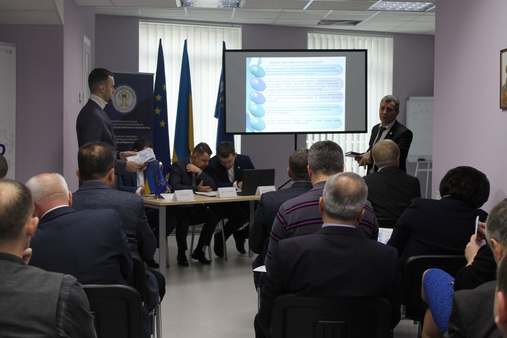
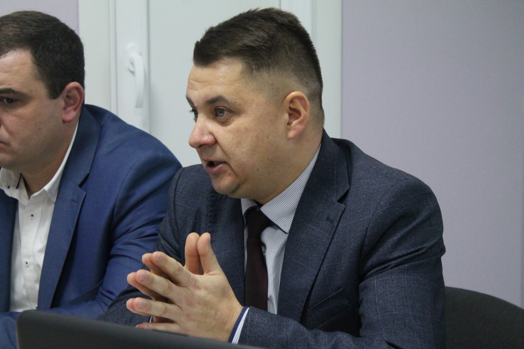
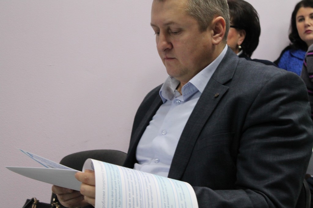
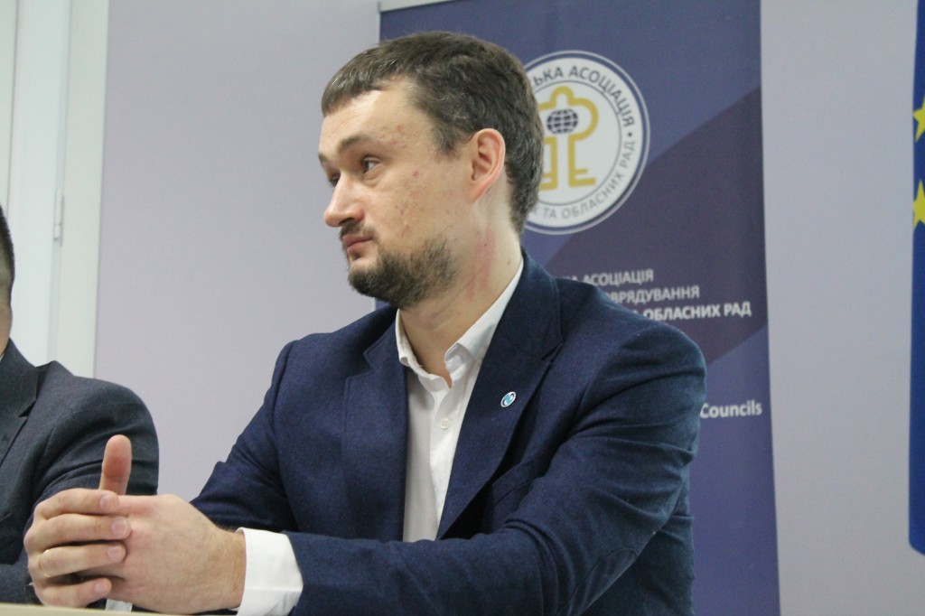
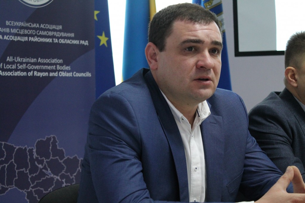
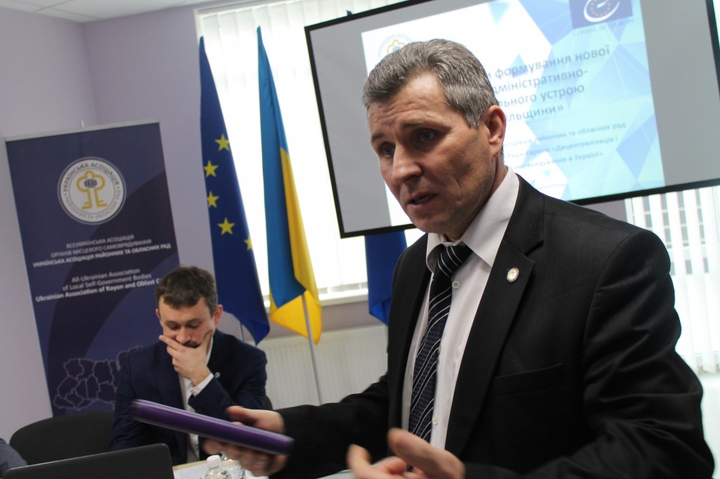
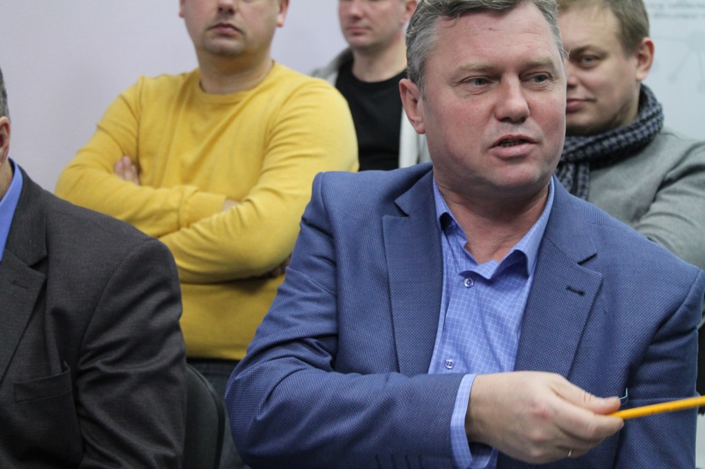
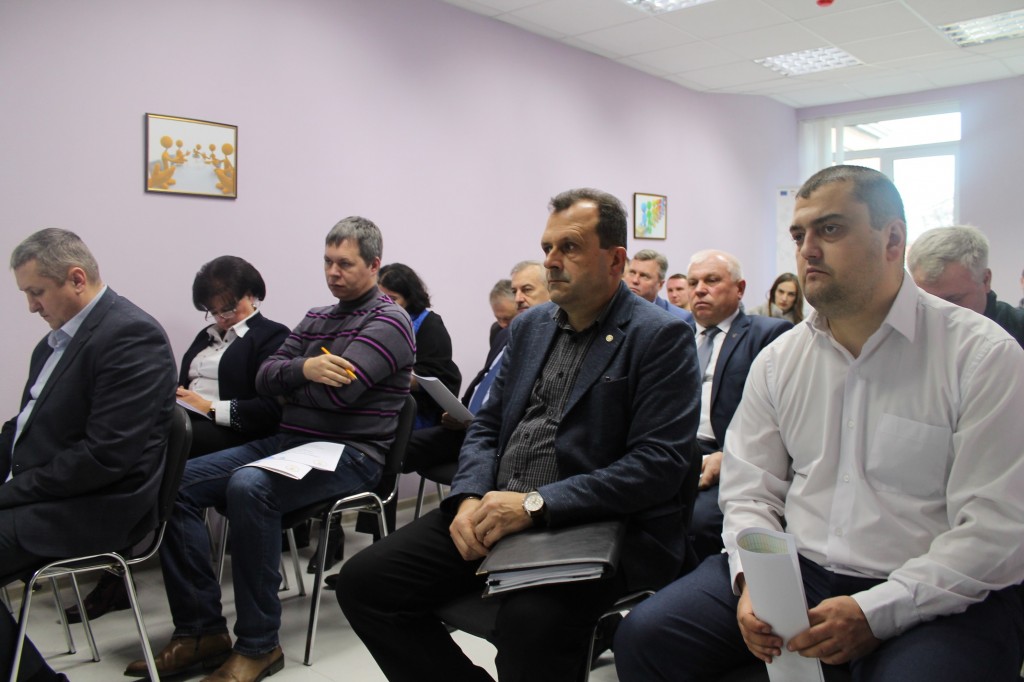
Today, such a model has been demonstrated to oblast representatives during the second stage of the discussion, within the framework of the thematic roundtable meeting, organised by the Association with the support of the Council of Europe Programme “Decentralisation and Local Government Reform in Ukraine”.
Ternopil, Chortkiv, Kremenets and Berezhany are identified as centres of the rayons.
The full version is available in Ukrainian – please click HERE
Attached images:

Tags:
administrative and territorial structure rayon
Область:
Тернопільська областьSource:
УАРОР
15 September 2026
Сучасні інструменти регіональної політики
Сучасні інструменти регіональної політики
У цій статті детально розглядаються перевірені практики та рішення для реалізації децентралізованого регіонального...
15 September 2026
Профорієнтація обʼєднує. Як евакуйована...
Громада перебуває в зоні активних бойових дій, її жителі повність евакуйовані та розпорошені Україною та світом, а...
15 September 2026
Відкликання депутатів місцевих рад: Комітет підтримав зміни до Виборчого кодексу
Відкликання депутатів місцевих рад: Комітет...
Комітет Верховної Ради з питань організації державної влади, місцевого самоврядування, регіонального розвитку та...
15 September 2026
До 20 вересня молодь з України та Румунії може подати твори для створення муралу
До 20 вересня молодь з України та Румунії може...
Спільний секретаріат Програми Interreg NEXT VI-A Румунія-Україна запрошує молодь віком від 13 до 30 років з...