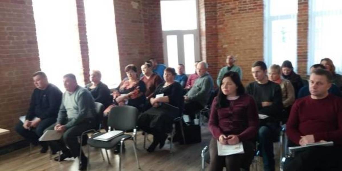
In Zhytomyr land surveyors discussed the use and hromadas’ land accounting
Representatives of amalgamated hromadas of the Zhytomyr Oblast discussed the importance of cartographic modeling for a reasonable management of land resources, territory planning and definition of the boundaries of settlements.
This issues were discussed during the seminar “Mapping of administrative-territorial structure”, which took place at the initiative of the Zhytomyr Local Government Development Centre, established with the support of the U-LEAD with Europe Programme and MinRegion.
The full version is available in Ukrainian – please click HERE

22 December 2025
Закон про забезпечення законності та прозорості...
5 листопада поточного року Верховна Рада України прийняла Закон України «Про внесення змін до деяких...
22 December 2025
Перетворення комунального підприємства на...
Перетворення комунального підприємства (КП) на акціонерне товариство (АТ) або товариство з обмеженою...
22 December 2025
Сила співпраці: як громади будують колективну стійкість через обмін досвідом
Сила співпраці: як громади будують колективну...
Частка людей у світі, які вважають, що не можуть зробити нічого, щоб захистити себе та свою родину у разі катастрофи,...
19 December 2025
Locally-led Recovery Planning: How Polaris Strategic Sessions Work
Locally-led Recovery Planning: How Polaris...
The Polaris Programme continues to provide systematic support to hromadas under its Locally-led Recovery sphere. In...