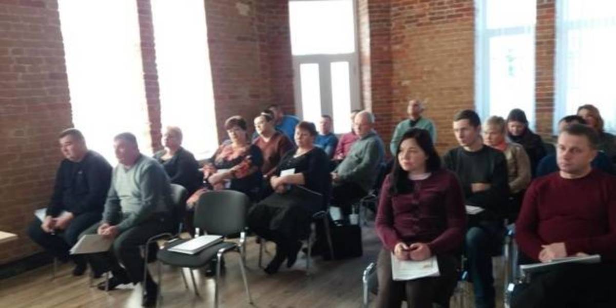
In Zhytomyr land surveyors discussed the use and hromadas’ land accounting
Representatives of amalgamated hromadas of the Zhytomyr Oblast discussed the importance of cartographic modeling for a reasonable management of land resources, territory planning and definition of the boundaries of settlements.
This issues were discussed during the seminar “Mapping of administrative-territorial structure”, which took place at the initiative of the Zhytomyr Local Government Development Centre, established with the support of the U-LEAD with Europe Programme and MinRegion.
The full version is available in Ukrainian – please click HERE

03 June 2026
Посилення прозорості місцевого самоврядування...
3 червня Комітет Верховної Ради України з питань організації державної влади, місцевого самоврядування,...
03 June 2026
Пресанонс щодо старту відбору громад для участі...
Відкритість, довіра та доброчесність не з'являються самі собою. Їх будують люди та громади, які готові змінювати...
03 June 2026
Вакансія: Старший(-а) експерт(-ка) з питань комунальних підприємств
Вакансія: Старший(-а) експерт(-ка) з питань...
Опис контексту Для реагування на мінливі потреби українських муніципалітетів і національних суб'єктів у воєнний...
03 June 2026
Каталоги можливостей червня: нова підбірка грантів для розвитку громад
Каталоги можливостей червня: нова підбірка...
Червень відкриває нові можливості для громад, які готові втілювати важливі проєкти для своїх жителів. Аби...