Interactive map of amalgamated hromadas appeared in Kirovohrad Oblast
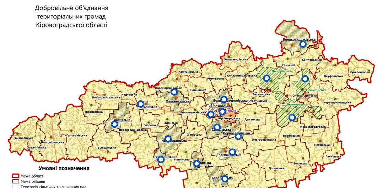
An interactive map of amalgamated hromadas was created in the Kirovohrad Oblast, as reported by the Kirovohrad Local Government Development Centre.
The interactive map reflects the boundaries of existing and perspective AHs – there are 14 of them. There are also three hromadas – the Novoprazka, Pryiutivska and Dmytrivska AHs, where the first elections were scheduled for the spring 2018.
The Hruzkivska and Maryanivska AHs have already received conclusions from the oblast state administration and are in the process of filing documents to the CEC regarding the appointment of the first elections.
The map is available by the link: https://www.thinglink.com/scene/1032922678643654659
Область:
Кіровоградська областьSource:
Кіровоградський Центр розвитку місцевого самоврядування
07 November 2026
From community resilience to European...
The European Commission recognises the resilience of Ukrainian local self-government in the face of full-scale war,...
06 November 2026
IDPs can choose their new community before evacuation: MinRehion develops new digital service
IDPs can choose their new community before...
A person forced to flee a dangerous territory needs to know, even before evacuation, where they will be able to live...
06 November 2026
Мінфін у жовтні забезпечив перерахування з...
У жовтні 2026 року Мінфін згідно з бюджетним законодавством забезпечив перерахування міжбюджетних трансфертів до...
06 November 2026
Громади можуть залучити до 100 000 євро на...
Литовський фонд співробітництва з розвитку та гуманітарної допомоги оголосив конкурс проєктів міжнародного...