Interactive map of amalgamated hromadas appeared in Kirovohrad Oblast
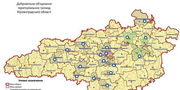
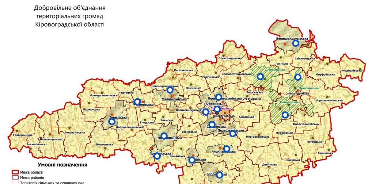
An interactive map of amalgamated hromadas was created in the Kirovohrad Oblast, as reported by the Kirovohrad Local Government Development Centre.
The interactive map reflects the boundaries of existing and perspective AHs – there are 14 of them. There are also three hromadas – the Novoprazka, Pryiutivska and Dmytrivska AHs, where the first elections were scheduled for the spring 2018.
The Hruzkivska and Maryanivska AHs have already received conclusions from the oblast state administration and are in the process of filing documents to the CEC regarding the appointment of the first elections.
The map is available by the link: https://www.thinglink.com/scene/1032922678643654659
Область:
Кіровоградська областьSource:
Кіровоградський Центр розвитку місцевого самоврядування
06 October 2026
Агенції регіонального розвитку навчатимуться готувати якісні проєктні концепції на платформі КРОКУС
Агенції регіонального розвитку навчатимуться...
7-8 жовтня у Львові відбудеться дводенний тренінг «Від проєктної ідеї до концепції: робота на платформі КРОКУС» для...
06 October 2026
Мінфін у вересні забезпечив перерахування з...
У вересні 2026 року Мінфін згідно з бюджетним законодавством забезпечив перерахування міжбюджетних трансфертів до...
06 October 2026
The Polaris Programme invites communications...
The Swedish-Ukrainian Polaris Programme ‘Support for Multi-level Governance in Ukraine’ is announcing a call...
06 October 2026
Fiscal Decentralisation: 7 Hromadas selected for Partnership with the Polaris Programme
Fiscal Decentralisation: 7 Hromadas selected...
The Polaris Programme “Supporting Multilevel Governance in Ukraine” selected seven partner hromadas for...