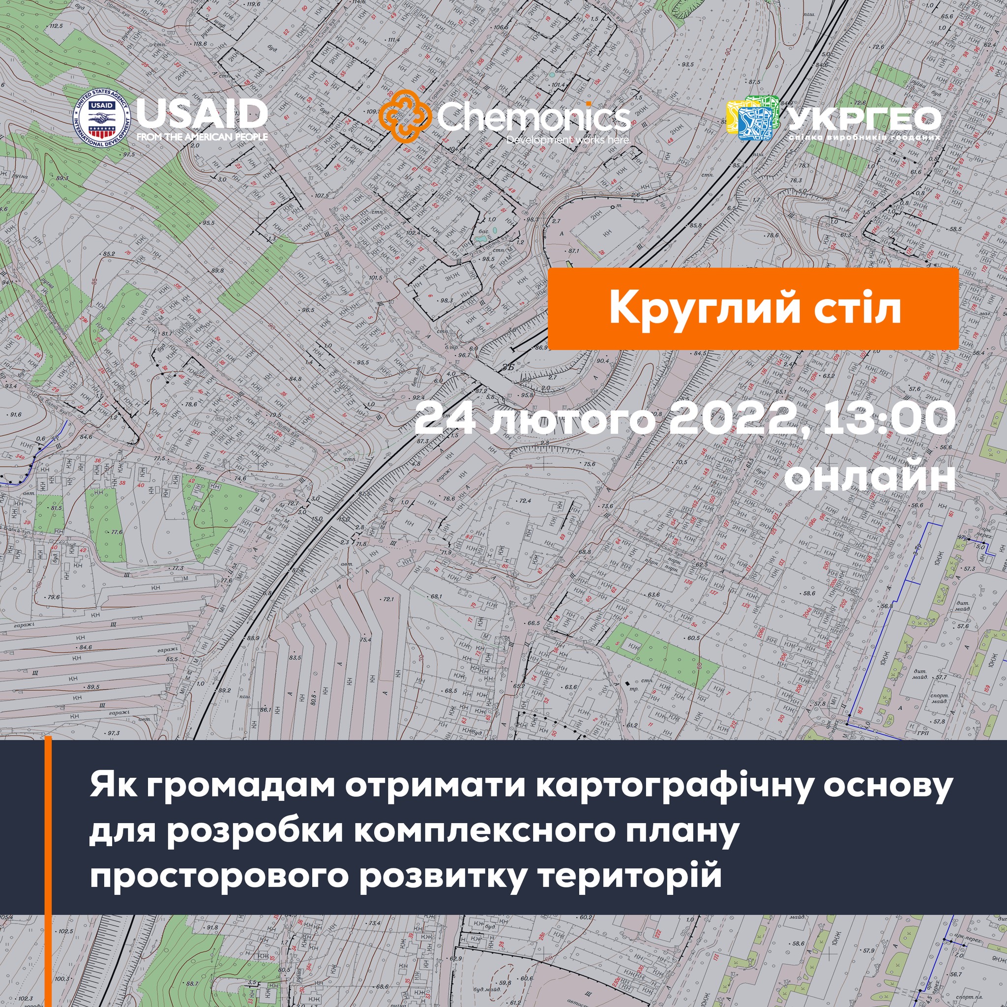
February, 24: the round table “How can municipalities get the cartographic base for the spatial development complex plan”
At 1 P.M. on February, 24 there will start the online-round table «How can municipalities get the cartographic base for the spatial development complex plan». The event will be held within the project “Supporting municipalities in land management”, organized by UkrGeo and StateGeoCadastre with support of the AGRO USAID Programme.
To participate in the event, one should register at: https://forms.gle/SuwYWuFyZwLpmBA47.
Attached images:
Tags:
Source:
Програма USAID з аграрного і сільського розвитку - АГРО
19 August 2026
Що має змінитися, аби європейські кошти...
Доступ до фондів Європейського Союзу сам по собі не гарантує Україні ані якісного відновлення, ані розвитку регіонів....
19 August 2026
Як впроваджувати інновації у своїй громаді:...
Як використовувати ШІ та цифрові рішення у роботі громади? Де шукати ідеї, які вже працюють в Україні? І головне — як...
19 August 2026
Invitation to Hromadas for Partnership in Fiscal Decentralisation
Invitation to Hromadas for Partnership in...
The Swedish-Ukrainian Polaris Programme ‘Support for Multilevel Governance in Ukraine’ supports the development of...
19 August 2026
16 Ukrainian communities launch cooperation...
Representatives of 16 communities from different regions of Ukraine signed a Memorandum of Cooperation with ALDA –...