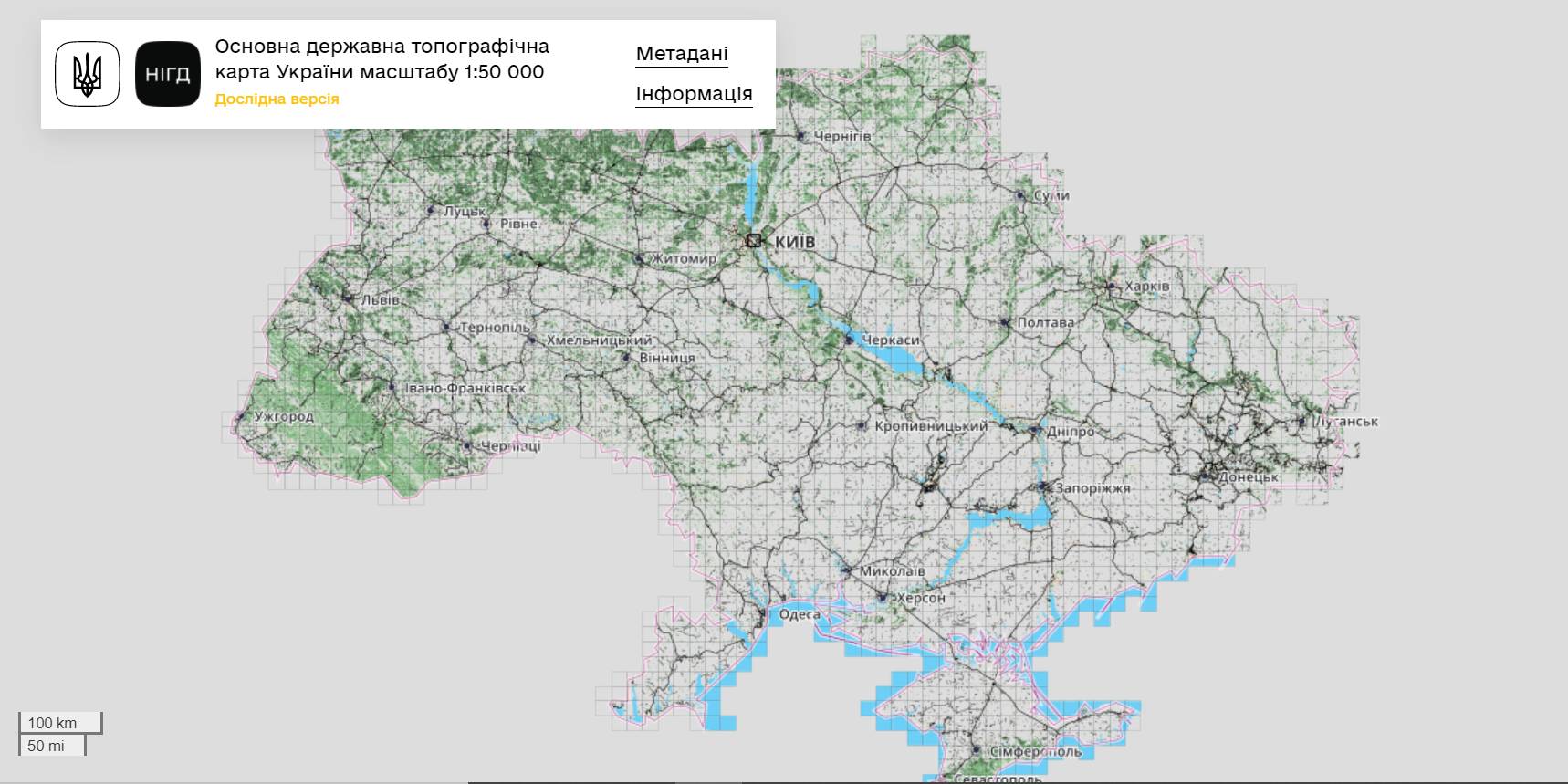
The StateGeoCadastre has publicized the Main State Topographic Map with the scale of 1:50 000
The StateGeoCadastre has created (updated) a digital topographic map with the scale of 1:50 000, as well as the topographic data basis of the territory of Ukraine.
The work was done within a joint project with the Mapping Service of the Kingdom of Norway «Maps to facilitate the proper land management in Ukraine» in 2018–2021.
On January, 27, 2022, the Map was presented during the online-conference.
The Director on International Services of the Mapping Service of the Kingdom of Norway Hans Christian Munthe Kaas emphasized the professional approach of the Ukrainian partners and underlined the significance of digital initiatives development and geospatial data accessibility in Ukraine.
The Map is available at: https://nsdi.gov.ua/map50k.

Tags:
stratehiia rozvytku spatial planning
Source:
Урядовий портал
03 April 2026
Стартував відбір на Резиденцію ідей «Доступно про бюджет: як розвивається громада»
Стартував відбір на Резиденцію ідей «Доступно...
До 13 квітня триває відбір на Резиденцію ідей «Доступно про бюджет: як розвивається громада», яка відбудеться 21–24...
02 April 2026
Громади підключать 100 МВт когенераційних установок за кошти держбюджету
Громади підключать 100 МВт когенераційних...
Громади приєднають до мережі 75 вже наявних когенераційних установок загальною електричною потужністю майже...
02 April 2026
Квітневі каталоги можливостей: підтримка громад та бізнесу
Квітневі каталоги можливостей: підтримка громад...
Великодні свята – час не лише для відпочинку, а й для розвитку. В цьому громадам допоможуть нові Каталоги...
02 April 2026
Громади зможуть отримувати пряме фінансування...
Територіальні громади України незабаром зможуть залучати кошти польського державного банку розвитку BGK безпосередньо...