


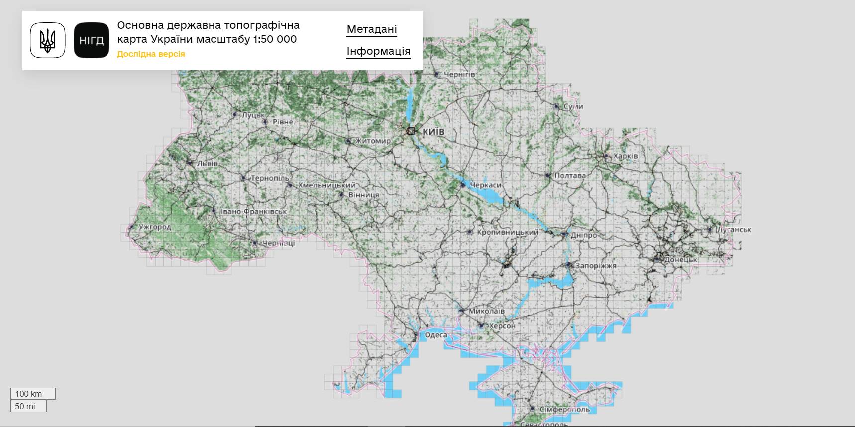
The StateGeoCadastre has publicized the Main State Topographic Map with the scale of 1:50 000
The StateGeoCadastre has created (updated) a digital topographic map with the scale of 1:50 000, as well as the topographic data basis of the territory of Ukraine.
The work was done within a joint project with the Mapping Service of the Kingdom of Norway «Maps to facilitate the proper land management in Ukraine» in 2018–2021.
On January, 27, 2022, the Map was presented during the online-conference.
The Director on International Services of the Mapping Service of the Kingdom of Norway Hans Christian Munthe Kaas emphasized the professional approach of the Ukrainian partners and underlined the significance of digital initiatives development and geospatial data accessibility in Ukraine.
The Map is available at: https://nsdi.gov.ua/map50k.

Share the news:
10 July 2025
Законопроєкт, який надає можливість...
10 липня парламентський Комітет з питань організації державної влади, місцевого самоврядування, регіонального...
10 July 2025
Відтермінування розробки комплексних планів...
10 липня парламентський Комітет з питань організації державної влади, місцевого самоврядування, регіонального...
10 July 2025
Законопроєкт про забезпечення законності в...
10 липня парламентський Комітет з питань організації державної влади, місцевого самоврядування, регіонального...
10 July 2025
Швейцарія інвестує 18,5 мільйонів швейцарських...
10 липня на Міжнародній конференції з відновлення України в Римі був підписаний Меморандум про новий етап...