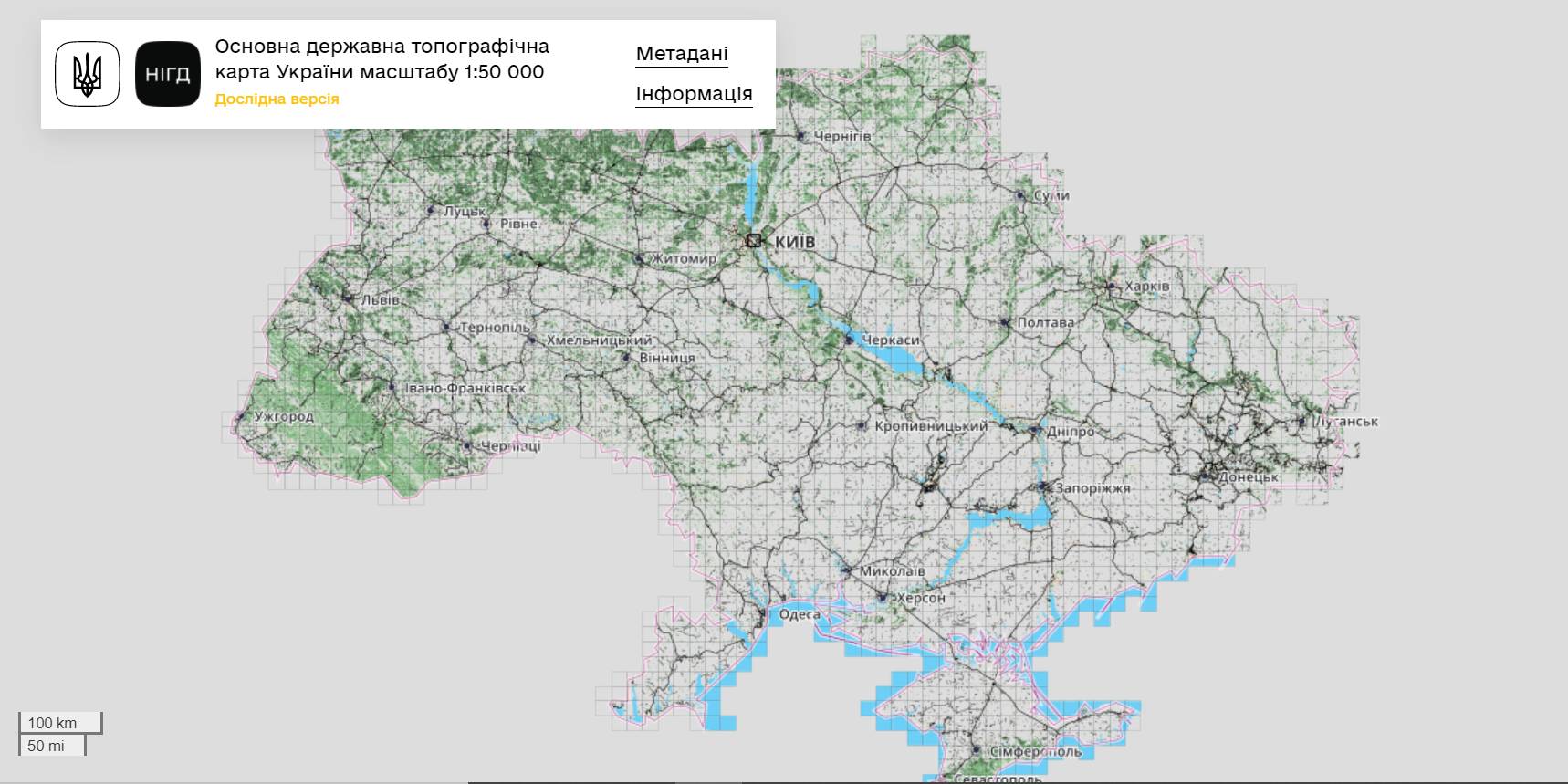
The StateGeoCadastre has publicized the Main State Topographic Map with the scale of 1:50 000
The StateGeoCadastre has created (updated) a digital topographic map with the scale of 1:50 000, as well as the topographic data basis of the territory of Ukraine.
The work was done within a joint project with the Mapping Service of the Kingdom of Norway «Maps to facilitate the proper land management in Ukraine» in 2018–2021.
On January, 27, 2022, the Map was presented during the online-conference.
The Director on International Services of the Mapping Service of the Kingdom of Norway Hans Christian Munthe Kaas emphasized the professional approach of the Ukrainian partners and underlined the significance of digital initiatives development and geospatial data accessibility in Ukraine.
The Map is available at: https://nsdi.gov.ua/map50k.

23 December 2025
Швейцарська підтримка сприятиме реалізації...
5 агенцій регіонального розвитку отримають гранти на реалізацію стратегічних пріоритетів у рамках програми...
23 December 2025
Open Call: Partnership in Preserving and Improving Access to Public Services
Open Call: Partnership in Preserving and...
The Swedish–Ukrainian Polaris Programme: Supporting Multilevel Governance in Ukraine announces a call to support...
22 December 2025
Статут демократії: Криничанська громада серед перших в Україні прийняла новий ключовий документ
Статут демократії: Криничанська громада серед...
Незважаючи на складну безпекову ситуацію, громади Дніпропетровської області не припиняють роботу над побудовою...
22 December 2025
В Броварах відкрився сучасний профорієнтаційний хаб DECIDE для учнів 7–9 класів
В Броварах відкрився сучасний профорієнтаційний...
У Броварському професійному коледжі запрацював новий, вже дев’ятий за рахунком, профорієнтаційний хаб, створений в...