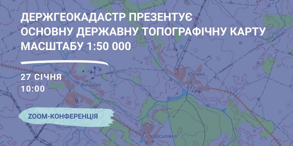
January, 27 – the StateGeoCadastre is to present the Main State Topographic Map with the scale of 1:50 000
On January, 27 the StateGeoCadastre is presenting the upgraded State Topographic Map.
The event starts at 10:00 A.M. at the open online ZOOM-conference, entitled “The role and place of the Main State Topographic Map with the scale of 1:50 000 for the realization of the national infrastructure of geospacer data”.
The conference will present the peculiarities of creation and upgrading of the Main State Topographic Map, opportunities of its application and usage in the future.
Representatives of the government agencies, local self-government, public organisations and experts in topography, geodesics and mapping are welcome to participate in the event.

17 February 2026
Sylna hromada: Systemic recovery as the foundation for Ukrainian resilience
Sylna hromada: Systemic recovery as the...
Four years of Russia's full-scale war against Ukraine have led to the massive destruction of critical infrastructure,...
17 February 2026
Уряд затвердив порядок надання субвенції на розвиток ветеранських просторів у 2026 році
Уряд затвердив порядок надання субвенції на...
11 лютого 2026 року Кабінет Міністрів України ухвалив Постанову №180, якою затверджено Порядок та умови надання у...
16 February 2026
«Гранти – не манна небесна»: як прикордонна...
Коропська громада, що на Чернігівщині, розташована в зоні підвищеної небезпеки через близькість до кордону з рф. Тут...
16 February 2026
Вебінар «Досвід ЄС у підготовці...
25 лютого 2026 року о 11:00–13:40 шведсько-українська Програма Polaris «Підтримка багаторівневого врядування...