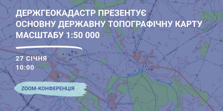
January, 27 – the StateGeoCadastre is to present the Main State Topographic Map with the scale of 1:50 000
On January, 27 the StateGeoCadastre is presenting the upgraded State Topographic Map.
The event starts at 10:00 A.M. at the open online ZOOM-conference, entitled “The role and place of the Main State Topographic Map with the scale of 1:50 000 for the realization of the national infrastructure of geospacer data”.
The conference will present the peculiarities of creation and upgrading of the Main State Topographic Map, opportunities of its application and usage in the future.
Representatives of the government agencies, local self-government, public organisations and experts in topography, geodesics and mapping are welcome to participate in the event.

16 June 2026
Анонс: вебінар «Кадрові наслідки змін у мережі...
Оптимізація мережі закладів освіти, створення академічних ліцеїв, зміна статусу шкіл та демографічні виклики вже...
16 June 2026
Чому генераторів недостатньо для...
Майже всі українські громади сьогодні мають генератори. Але лише кожна п’ята громада працює за затвердженим планом...
15 June 2026
Recovery depends on strong communities,...
Kyiv hosted a Dialogue on Governance for Inclusive Recovery and Development, organised by the Ministry for...
15 June 2026
Профайл громади як інструмент залучення міжнародного фінансування та інвестицій
Профайл громади як інструмент залучення...
Сьогодні українські громади конкурують не лише ідеями чи готовими проєктами, а й своєю здатністю професійно та...