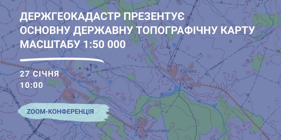
January, 27 – the StateGeoCadastre is to present the Main State Topographic Map with the scale of 1:50 000
On January, 27 the StateGeoCadastre is presenting the upgraded State Topographic Map.
The event starts at 10:00 A.M. at the open online ZOOM-conference, entitled “The role and place of the Main State Topographic Map with the scale of 1:50 000 for the realization of the national infrastructure of geospacer data”.
The conference will present the peculiarities of creation and upgrading of the Main State Topographic Map, opportunities of its application and usage in the future.
Representatives of the government agencies, local self-government, public organisations and experts in topography, geodesics and mapping are welcome to participate in the event.

06 February 2026
Акселераційна програма Clusters4Regions: новий етап розвитку кластерного менеджменту в Україні
Акселераційна програма Clusters4Regions: новий...
2 лютого розпочала роботу Школа кластерного менеджменту #Clusters4Regions — акселераційна навчальна програма...
06 February 2026
Анонс: як Україна адаптує місцеве самоврядування до стандартів ЄС — підсумки проєкту ЦППР
Анонс: як Україна адаптує місцеве...
Система місцевого самоврядування та територіальної організації влади в Україні зіштовхується з викликами воєнного...
05 February 2026
Міжнародні програми підтримки громад: гід можливостей для відновлення та розвитку
Міжнародні програми підтримки громад: гід...
Matchmaking сесія під час Impact.Zhytomyr 2.0 Forum Автори: Ярослав Жидик, асоційований партнер...
05 February 2026
Час на якість: що дає громадам відтермінування містобудівних дедлайнів
Час на якість: що дає громадам відтермінування...
У попередніх матеріалах ми говорили про «страх підпису» у відбудовчих проєктах — явище, з яким сьогодні стикаються...