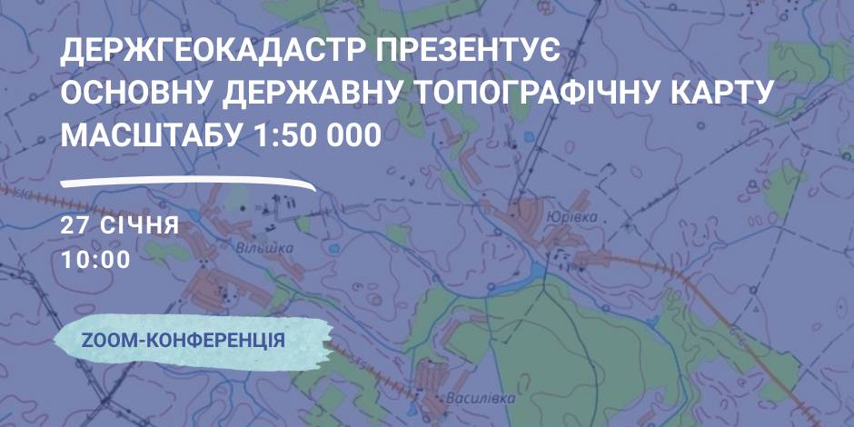
January, 27 – the StateGeoCadastre is to present the Main State Topographic Map with the scale of 1:50 000
On January, 27 the StateGeoCadastre is presenting the upgraded State Topographic Map.
The event starts at 10:00 A.M. at the open online ZOOM-conference, entitled “The role and place of the Main State Topographic Map with the scale of 1:50 000 for the realization of the national infrastructure of geospacer data”.
The conference will present the peculiarities of creation and upgrading of the Main State Topographic Map, opportunities of its application and usage in the future.
Representatives of the government agencies, local self-government, public organisations and experts in topography, geodesics and mapping are welcome to participate in the event.

23 December 2025
Швейцарська підтримка сприятиме реалізації...
5 агенцій регіонального розвитку отримають гранти на реалізацію стратегічних пріоритетів у рамках програми...
23 December 2025
Open Call: Partnership in Preserving and Improving Access to Public Services
Open Call: Partnership in Preserving and...
The Swedish–Ukrainian Polaris Programme: Supporting Multilevel Governance in Ukraine announces a call to support...
22 December 2025
Статут демократії: Криничанська громада серед перших в Україні прийняла новий ключовий документ
Статут демократії: Криничанська громада серед...
Незважаючи на складну безпекову ситуацію, громади Дніпропетровської області не припиняють роботу над побудовою...
22 December 2025
В Броварах відкрився сучасний профорієнтаційний хаб DECIDE для учнів 7–9 класів
В Броварах відкрився сучасний профорієнтаційний...
У Броварському професійному коледжі запрацював новий, вже дев’ятий за рахунком, профорієнтаційний хаб, створений в...