Fire monitoring and analysis maps have been developed for municipalities of eastern Ukraine
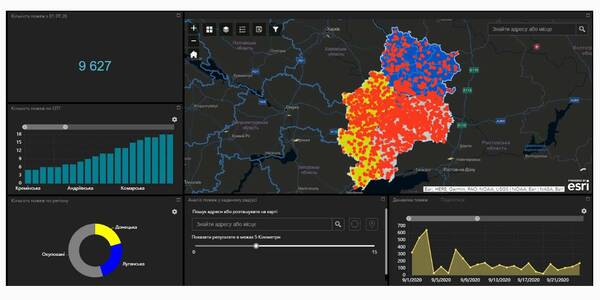
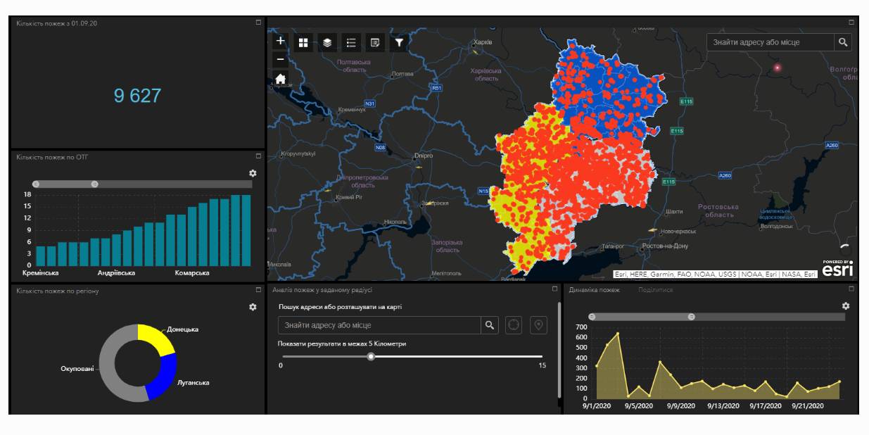
Within the project “No smoking” it was suggested that a geo-analytical tool (map) of fire monitoring and analysis should be developed on the basis of operational satellite and retrospective information on fires for the last five years for the purpose of efficiently planning preventive measures aimed at fighting large scale fires in municipalities. According to the competitive selection results, ten municipalities of the Donetsk and Luhansk oblasts. Moreover, regional maps enabling to analyze fire condition and dynamics for the last five years on the territory of the two oblasts.
The map has been developed on the basis of NASA satellite data, Public Cadastre Map, Nature Reserve Fund, including a set of information and analytical tools in terms of fire dynamics, location and scale, the area damaged by fire, etc.
Feel free to get acquainted with the developed maps at municipality sites or at https://cid.center/e-solutions/.
Tags:
Область:
Донецька область Луганська областьSource:
Центру розвитку інновацій
19 August 2026
Що має змінитися, аби європейські кошти...
Доступ до фондів Європейського Союзу сам по собі не гарантує Україні ані якісного відновлення, ані розвитку регіонів....
19 August 2026
Як впроваджувати інновації у своїй громаді:...
Як використовувати ШІ та цифрові рішення у роботі громади? Де шукати ідеї, які вже працюють в Україні? І головне — як...
19 August 2026
Invitation to Hromadas for Partnership in Fiscal Decentralisation
Invitation to Hromadas for Partnership in...
The Swedish-Ukrainian Polaris Programme ‘Support for Multilevel Governance in Ukraine’ supports the development of...
19 August 2026
16 Ukrainian communities launch cooperation...
Representatives of 16 communities from different regions of Ukraine signed a Memorandum of Cooperation with ALDA –...