Fire monitoring and analysis maps have been developed for municipalities of eastern Ukraine
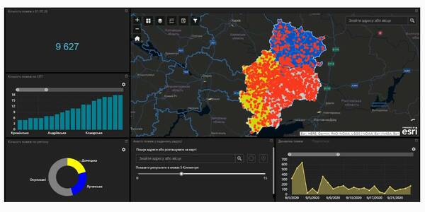
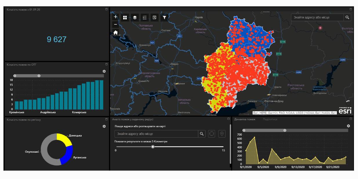
Within the project “No smoking” it was suggested that a geo-analytical tool (map) of fire monitoring and analysis should be developed on the basis of operational satellite and retrospective information on fires for the last five years for the purpose of efficiently planning preventive measures aimed at fighting large scale fires in municipalities. According to the competitive selection results, ten municipalities of the Donetsk and Luhansk oblasts. Moreover, regional maps enabling to analyze fire condition and dynamics for the last five years on the territory of the two oblasts.
The map has been developed on the basis of NASA satellite data, Public Cadastre Map, Nature Reserve Fund, including a set of information and analytical tools in terms of fire dynamics, location and scale, the area damaged by fire, etc.
Feel free to get acquainted with the developed maps at municipality sites or at https://cid.center/e-solutions/.
Tags:
Область:
Донецька область Луганська областьSource:
Центру розвитку інновацій
02 October 2026
«Середа з U-LEAD»: каталог інформаційних заходів для громад на жовтень 2026 року
«Середа з U-LEAD»: каталог інформаційних...
У жовтні Програма «U-LEAD з Європою» проведе серію відкритих інформаційних заходів для представників органів...
02 October 2026
Comprehensive support programme for frontline territories to be launched in early 2027
Comprehensive support programme for frontline...
MinRehion is working on the “The State is Nearby. Frontline” programme, which aims to bring together support measures...
02 October 2026
Як реалізувати проєкт Interreg без проблем – поради від ДАСУ
Як реалізувати проєкт Interreg без проблем –...
Державна аудиторська служба України є Національним контролером програм Interreg. Вона перевіряє усі проєкти Interreg...
02 October 2026
Віталій Безгін підтримує тимчасову перереєстрацію великих держпідприємств у прифронтових громадах
Віталій Безгін підтримує тимчасову...
Великі державні підприємства, зареєстровані в Києві, варто на період воєнного стану перереєстровувати у прифронтових...