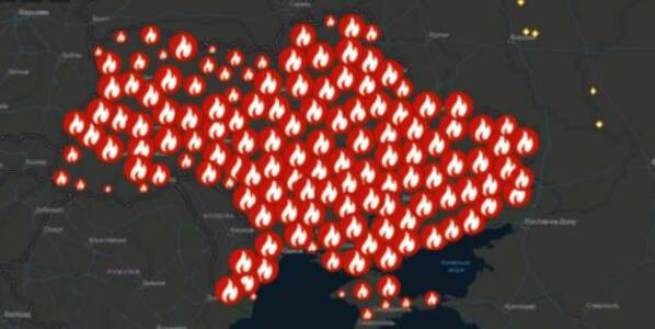
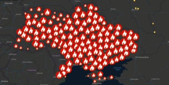
A beta-copy of the all-Ukrainian fire monitoring GIS-map has been created
Kyiv geo-analysts have created a tool to analyse fires in open ecosystems of Ukraine for the last five years, as well as to monitor fires, having broken out for the last two days.
“The all-Ukrainian GIS-map of fires in ecosystems of Ukraine for the last 5 years” has been created by the Centre for Innovation Development in cooperation with Heinrich Boell Foundation, Bureau Kyiv — Ukraine.
According to Vitaliy Selyk, the head of the project of the GIS-map development, while creating the tool, open satellite, governmental and non-governmental data were used (NASA, ESA-European Space Agency, OpenStreetMap, GeoPortalUA, StateGeoCadastre, State Emergency Service of Ukraine).
27 October 2026
Чого навчаються один в одного Івано-Франківськ та шведське Люлєо
Чого навчаються один в одного Івано-Франківськ...
Візит делегації з Івано-Франківська до міста-побратима Люлєо У 2025 році Івано-Франківськ і шведське Люлєо...
27 October 2026
Як релокація бізнесів і державних установ змінює малі громади України
Як релокація бізнесів і державних установ...
Онлайн-медіа про схід України «Свої.city» півроку досліджувало, як в умовах повномасштабної війни релокація бізнесів...
27 October 2026
Повернути тепло, відновити домівки, втримати...
Начальниця Роганської селищної військової адміністрації Харківської області Марія Черненко про унікальні кейси...
27 October 2026
Не шукати допомогу, а отримувати її: як у Чернігові працює простір для ветеранів та ветеранок
Не шукати допомогу, а отримувати її: як у...
Портал «Децентралізація» продовжує серію матеріалів про рішення громад, які роблять публічні послуги та простори...