A beta-copy of the all-Ukrainian fire monitoring GIS-map has been created
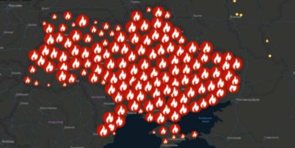
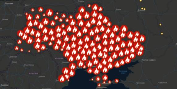
Kyiv geo-analysts have created a tool to analyse fires in open ecosystems of Ukraine for the last five years, as well as to monitor fires, having broken out for the last two days.
“The all-Ukrainian GIS-map of fires in ecosystems of Ukraine for the last 5 years” has been created by the Centre for Innovation Development in cooperation with Heinrich Boell Foundation, Bureau Kyiv — Ukraine.
According to Vitaliy Selyk, the head of the project of the GIS-map development, while creating the tool, open satellite, governmental and non-governmental data were used (NASA, ESA-European Space Agency, OpenStreetMap, GeoPortalUA, StateGeoCadastre, State Emergency Service of Ukraine).
02 October 2026
«Середа з U-LEAD»: каталог інформаційних заходів для громад на жовтень 2026 року
«Середа з U-LEAD»: каталог інформаційних...
У жовтні Програма «U-LEAD з Європою» проведе серію відкритих інформаційних заходів для представників органів...
02 October 2026
Comprehensive support programme for frontline territories to be launched in early 2027
Comprehensive support programme for frontline...
MinRehion is working on the “The State is Nearby. Frontline” programme, which aims to bring together support measures...
02 October 2026
Як реалізувати проєкт Interreg без проблем – поради від ДАСУ
Як реалізувати проєкт Interreg без проблем –...
Державна аудиторська служба України є Національним контролером програм Interreg. Вона перевіряє усі проєкти Interreg...
02 October 2026
Віталій Безгін підтримує тимчасову перереєстрацію великих держпідприємств у прифронтових громадах
Віталій Безгін підтримує тимчасову...
Великі державні підприємства, зареєстровані в Києві, варто на період воєнного стану перереєстровувати у прифронтових...