Interactive decentralisation map of the region created in Luhansk Oblast
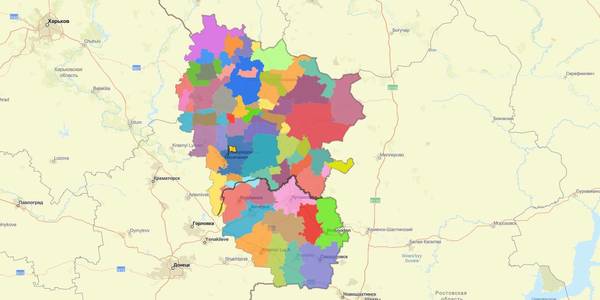
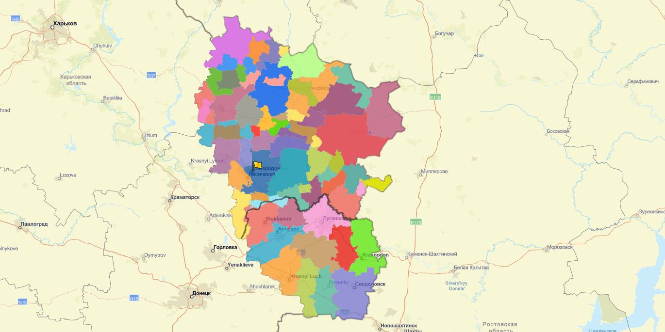
The Luhansk Oblast State Administration – Oblast Military-Civil Administration, supported by the REACH Initiative Mission in Ukraine, has created an interactive map of decentralisation in the Luhansk Oblast.
The map contains information about the perspective plan for the formation of hromadas, the state of AH formation, location of state and communal institutions providing services to the population, as well as other information and analytical materials.
28 October 2026
Від партнерства до спільних проєктів: як...
Ініціатива Clusters4Regions допомогла регіональним командам перейти від ідеї кластерної взаємодії до спільної роботи...
28 October 2026
Invitation to Hromadas for Partnership in Education at the Local and Regional Levels
Invitation to Hromadas for Partnership in...
The Swedish-Ukrainian Polaris Programme “Supporting Multilevel Governance in Ukraine” announces the third round of...
27 October 2026
NEBA Hub Україна розпочинає створення колекції...
У жовтні 2025 року на території Експоцентру України (ВДНГ) у Києві відкрили терапевтичний сад. Це - публічний простір...
27 October 2026
Чого навчаються один в одного Івано-Франківськ та шведське Люлєо
Чого навчаються один в одного Івано-Франківськ...
Візит делегації з Івано-Франківська до міста-побратима Люлєо У 2025 році Івано-Франківськ і шведське Люлєо...