


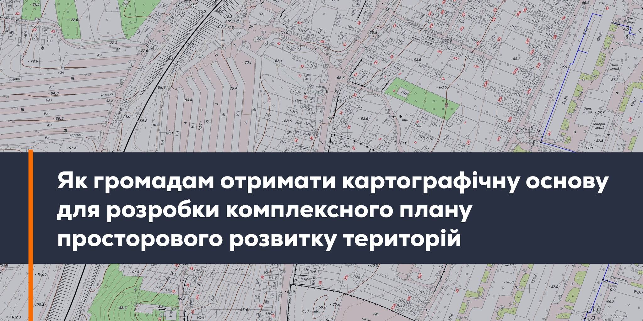
February, 24: the round table “How can municipalities get the cartographic base for the spatial development complex plan”
At 1 P.M. on February, 24 there will start the online-round table «How can municipalities get the cartographic base for the spatial development complex plan». The event will be held within the project “Supporting municipalities in land management”, organized by UkrGeo and StateGeoCadastre with support of the AGRO USAID Programme.
To participate in the event, one should register at: https://forms.gle/SuwYWuFyZwLpmBA47.
Attached images:

Tags:
Source:
Програма USAID з аграрного і сільського розвитку - АГРО
Share the news:
11 July 2025
Війна одна на всіх. Чоп і Куп’янськ - братерство попри відстань
Війна одна на всіх. Чоп і Куп’янськ -...
На YouTube-каналі «Пліч-о-пліч: згуртовані громади» вийшов новий епізод подкасту «Згуртовані». У черговому випуску...
11 July 2025
«Хочемо не затамовувати подих під час тривоги,...
Авторка: Марія Булейко (Марковська) До повномасштабного вторгнення в підвальному приміщенні Чернігівської...
10 July 2025
Draft law allowing for renaming communities...
On 10 July, the Parliamentary Committee on the Organisation of State Power, Local Self-Government, Regional...
10 July 2025
Відтермінування розробки комплексних планів...
10 липня парламентський Комітет з питань організації державної влади, місцевого самоврядування, регіонального...