Fire monitoring and analysis maps have been developed for municipalities of eastern Ukraine
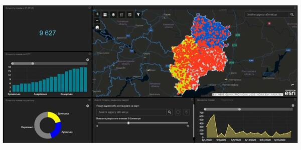
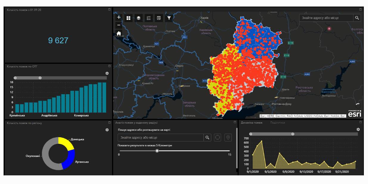
Within the project “No smoking” it was suggested that a geo-analytical tool (map) of fire monitoring and analysis should be developed on the basis of operational satellite and retrospective information on fires for the last five years for the purpose of efficiently planning preventive measures aimed at fighting large scale fires in municipalities. According to the competitive selection results, ten municipalities of the Donetsk and Luhansk oblasts. Moreover, regional maps enabling to analyze fire condition and dynamics for the last five years on the territory of the two oblasts.
The map has been developed on the basis of NASA satellite data, Public Cadastre Map, Nature Reserve Fund, including a set of information and analytical tools in terms of fire dynamics, location and scale, the area damaged by fire, etc.
Feel free to get acquainted with the developed maps at municipality sites or at https://cid.center/e-solutions/.

Tags:
Область:
Донецька область Луганська областьSource:
Центру розвитку інновацій

21 November 2024
Громади Хмельниччини долучилися до обговорення реформи старшої школи
Громади Хмельниччини долучилися до обговорення...
15 листопада в Хмельницькому відбулося громадське обговорення впровадження реформи профільної середньої освіти. Захід...
21 November 2024
Програма Polaris провела інформаційну сесію для громад Житомирщини
Програма Polaris провела інформаційну сесію для...
20 листопада у Житомирі відбулася інформаційна сесія Програми Polaris «Підтримка багаторівневого врядування в...
21 November 2024
Стратегія безбар’єрності: експерт розповів про цифрову доступність
Стратегія безбар’єрності: експерт розповів про...
Цифрова безбарʼєрність – один із шести ключових напрямків розвитку, визначених у Національній стратегії зі створення...
20 November 2024
Mayors’ Congress in Paris: at least 7 new partnerships are being established
Mayors’ Congress in Paris: at least 7 new...
Just imagine the scale of the Mayors’ Congress in Paris for local government leaders: 1,200 French mayors are...