Fire monitoring and analysis maps have been developed for municipalities of eastern Ukraine
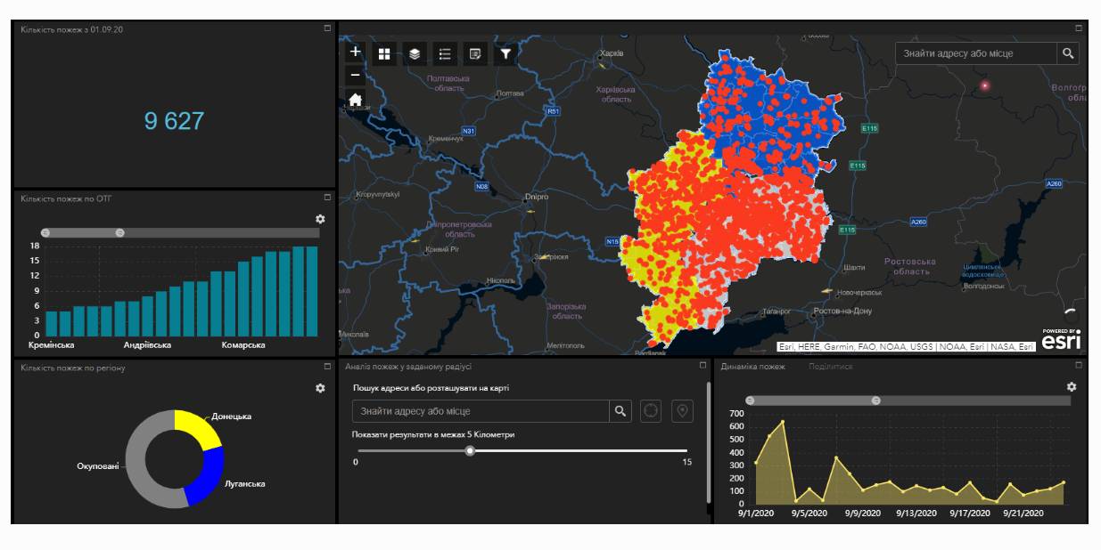
Within the project “No smoking” it was suggested that a geo-analytical tool (map) of fire monitoring and analysis should be developed on the basis of operational satellite and retrospective information on fires for the last five years for the purpose of efficiently planning preventive measures aimed at fighting large scale fires in municipalities. According to the competitive selection results, ten municipalities of the Donetsk and Luhansk oblasts. Moreover, regional maps enabling to analyze fire condition and dynamics for the last five years on the territory of the two oblasts.
The map has been developed on the basis of NASA satellite data, Public Cadastre Map, Nature Reserve Fund, including a set of information and analytical tools in terms of fire dynamics, location and scale, the area damaged by fire, etc.
Feel free to get acquainted with the developed maps at municipality sites or at https://cid.center/e-solutions/.
Tags:
Область:
Донецька область Луганська областьSource:
Центру розвитку інновацій
28 May 2026
Президент підписав Закон №9559-д: громади...
Президент України підписав Закон №9559-д «Про внесення змін до деяких законів України щодо розширення повноважень...
28 May 2026
Відбір експерта зі взаємодії громад із бізнесом та профорієнтації
Відбір експерта зі взаємодії громад із бізнесом...
Всеукраїнська асоціація органів місцевого самоврядування “Всеукраїнська асоціація громад” (ВАГ) проводить запит...
28 May 2026
Пошук модератора Комітету ВАГ з питань освіти
Пошук модератора Комітету ВАГ з питань освіти
Всеукраїнська асоціація органів місцевого самоврядування “Всеукраїнська асоціація громад” (ВАГ) проводить запит...
27 May 2026
Управління відходами по-європейськи: як Україні...
Команда Zero Waste Alliance Ukraine запрошує дізнатися більше на форумі «Міста Нуль Відходів». Коли: 23–24...